 Catalogue Shom
elevation
Type of resources
Available actions
Topics
Keywords
Provided by
Years
Formats
Representation types
Update frequencies
status
Scale
Resolution
-
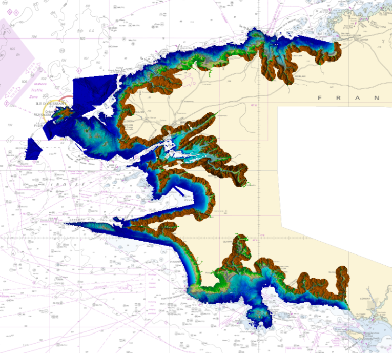
Litto3D is a unique and continuous land-sea database which can provide 3D models of the shape and location of French coastal terrain. A line separates sea and land data acquisition zones, and the associated survey readings obtained using bathymetric lidar technologies or multibeam echosounders for sea readings and airborne lidar topographical surveys for land readings, with 300 m overlap. Litto3D digital models are available in two formats: a set of 3D points and a qualified terrain mesh.
-
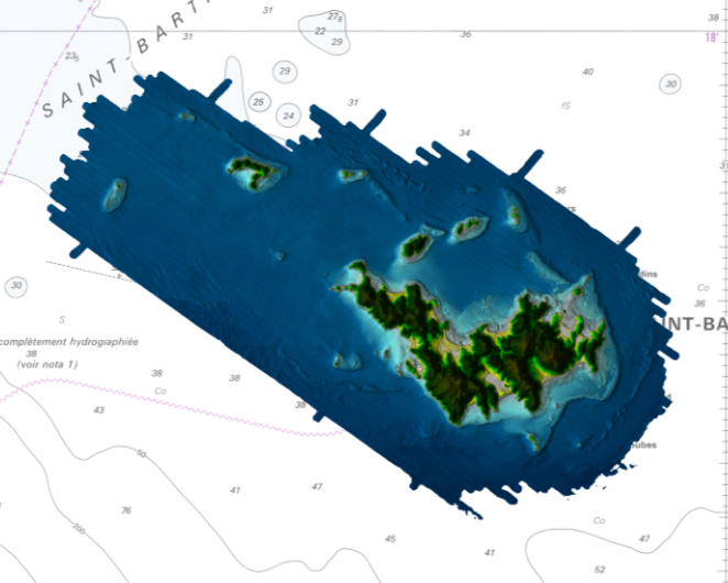
Litto3D is a unique and continuous land-sea database which can provide 3D models of the shape and location of French coastal terrain. Litto3D digital models are available in two formats: a set of 3D points and a qualified terrain mesh.
-
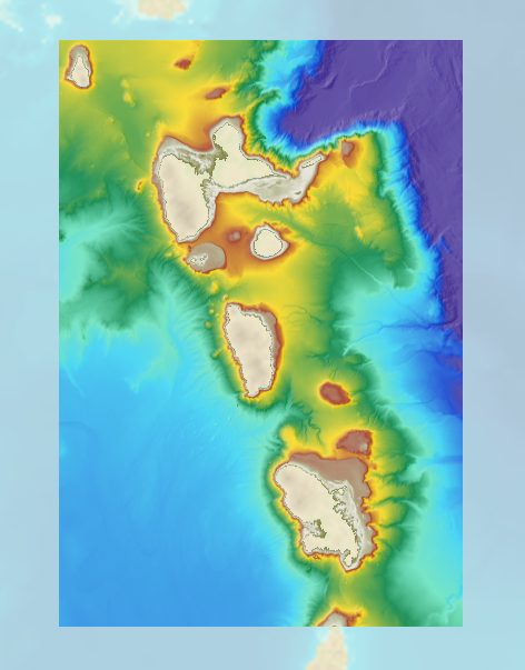
The bathymetric DEM for the coasts of Guadeloupe and Martinique with a resolution of 0.001° (~ 100 m) was prepared as part of the HOMONIM project. The DEM covers some of the Lesser Antilles islands, from Montserrat in the north to Sainte-Lucie in the south. The model ranges off-shore to a depth of 5800 m. The DEM is designed to be used in hydrodynamic models in order to produce high-precision forecasts for coastal water levels and sea conditions and therefore improve the pertinence of the Waves-Submersion monitoring programme.
-
The update of the coastal topo-bathymetric DEM of the Pertuis charentais at a resolution of 0.0002° (~ 20 m) was carried out in the third phase of the HOMONIM project. The DEM extends from the terrestrial domain to about 60 meters depth over all the pertuis (pertuis Breton, pertuis d’Antioche and pertuis of Maumusson). The DEM is intended to be implemented in hydrodynamic models in order to produce forecasts as accurate as possible of water heights and sea states at the coast to improve the relevance of the Wave-Submergence Vigilance. The vertical reference for this product is the Lowest Astronomical Tide (LAT).
-
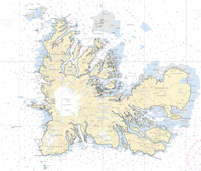
The high resolution Coastline corresponds to the Highest Astronomical Tide (HAT) with a tidal coefficient of 120 and in normal weather conditions (no sea breeze and mean atmospheric pressure of 1013 hPa). The high resolution coastline is available in french subantarctic islands (984).
-
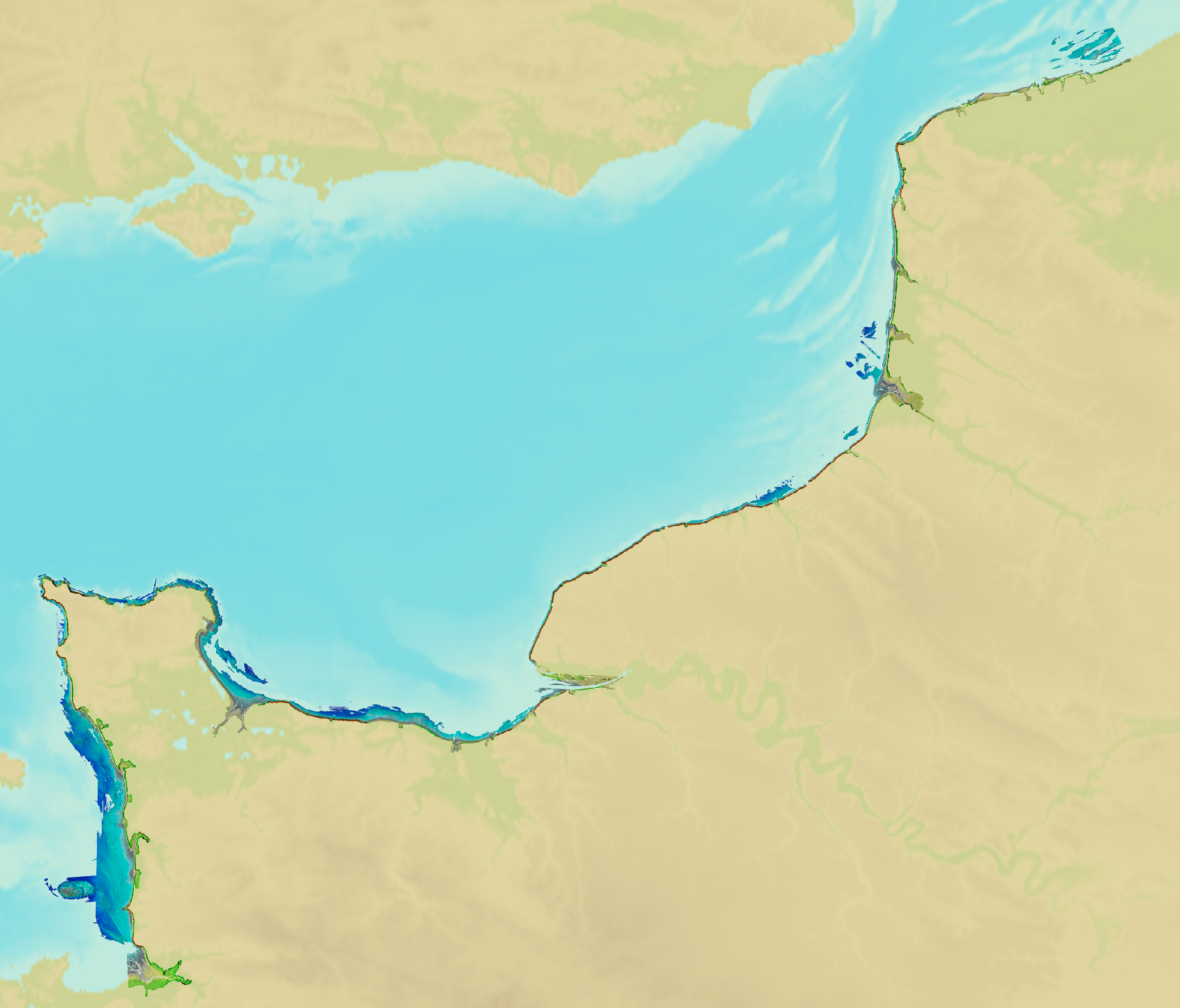
Litto3D marine part is a unique and continuous land-sea database which can provide 3D models of the shape and location of french coastal terrain. Surveys are carried out by airborne lidar bathymetry over the sea side and airborne lidar topography over the land side up to 400m inland. Litto3D marine part digital models are available in two formats: a set of 3D points and a qualified terrain mesh.
-

The update of the coastal topo-bathymetric DEM of the Gironde estuary - downstream with a resolution of 0.0002° (~ 20 m) was carried out in the third phase of the HOMONIM project. This DEM covers the downstream part of the Gironde estuary, from Pauillac to its mouth. It is complementary to the DEM covering the upstream estuary. The DEM is intended to be implemented in hydrodynamic models in order to produce forecasts as accurate as possible of water heights and sea states at the coast to improve the relevance of the Wave-Submergence Vigilance. This product is available with either the Lowest Astronomic Tide (LAT) or the Mean Sea Level (MSL) as a vertical reference.
-

Bathymetric datasets, collected between 1970 and 1990, are mainly acquired with single-beam echosounders. Quality controls and qualification, conducted by the Shom, on these datasets are not exhaustive. Datasets may present significant uncertainties and errors may remain.
-
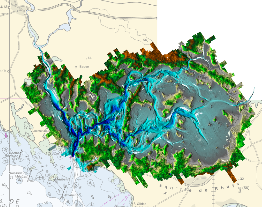
Litto3D Marine Part is an intermediate product of the Litto3D product containing only marine data.Litto3D is a unique and continuous land-sea database which can provide 3D models of the shape and location of French coastal terrain. A line separates sea and land data acquisition zones, and the associated survey readings obtained using bathymetric lidar technologies or multibeam echosounders for sea readings and airborne lidar topographical surveys for land readings, with 300 m overlap. Litto3D digital models are available in two formats: a set of 3D points and a qualified terrain mesh.
-
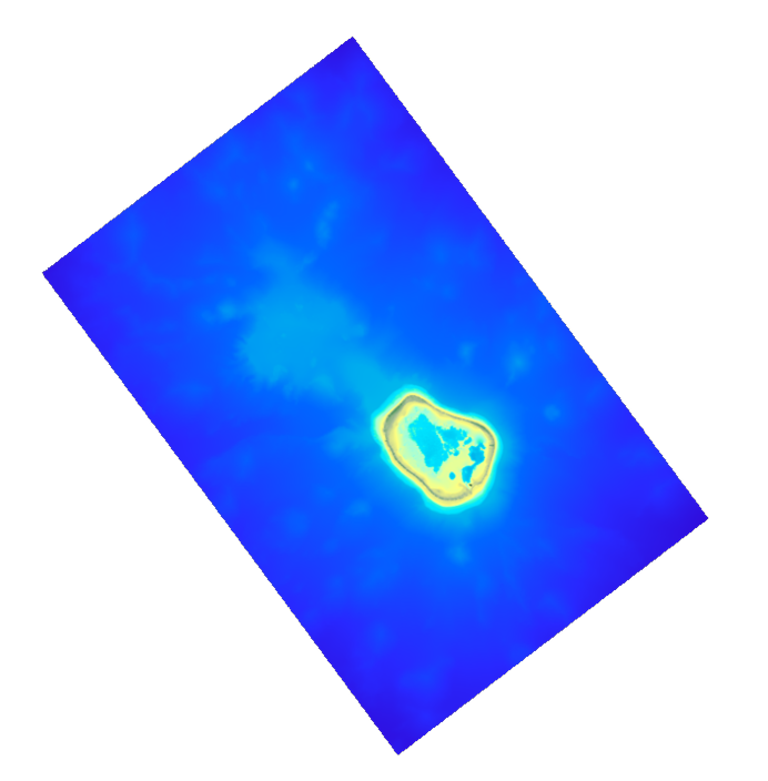
The coastal topo-bathymetric DEM was produced using the bathymetric and topographic data acquired between 2012 and 2015 by Shom and the PASSION programme team. The 20 m coastal grid covers the Passion atoll – Clipperton and the local flanks of the atoll to a depth of 1500 m. Passion island - Clipperton, in the eastern Pacific Ocean, is a remote uninhabited atoll over 5,000 km from Tahiti in French Polynesia and over 1,000 km from the Mexican coasts. Passion island is the highest point on the Clipperton ridge, and the only location above water level. This is the only coral atoll in the eastern Pacific in the northern hemisphere, at a longitude of W 109° and a latitude of N 10°.