 Catalogue Shom
product
Type of resources
Available actions
Topics
Keywords
Provided by
Representation types
Update frequencies
Scale
-
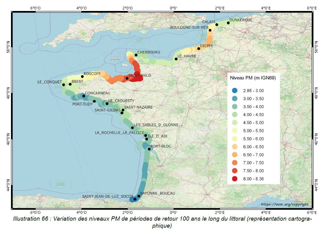
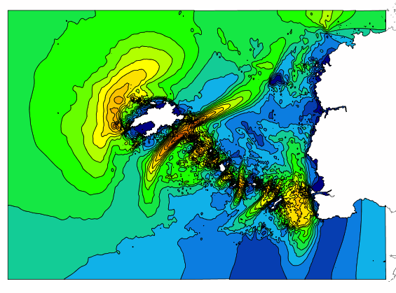
This study provides an initial global estimate of the extreme water level values along the French metropolitan coastline. These results are to be refined locally with all available data and knowledge. The method used is based on a statistical analysis of the tide gauge observations available in the ports. It does not take into account wave observations. The results between ports are obtained by an interpolation method. The study produces at the reference ports the statistical estimates: - extreme values of high water surge in the Channel and Atlantic; - extreme values of water level for the whole of Metropolitan France. And a set of statistical estimation maps of extreme water level values along the coastline. The estimates provided go up to the 1,000-year return period. In view of the duration of observations used at the ports, the user must check whether estimates with a return period of more than 50 or 100 years are still valid 50 or 100 years still make sense.
-
This product includes the boundaries of tidal zones for French Channel, Atlantic and Mediterranean coasts in shapefile format. Information on the characteristics of tidal zones is available as part of the "Maritime Altimetric Reference Values" product.
-
This product includes Shom 3D digital data on tidal currents in the area "Loire" in shapefile and geotiff formats. These digital files provide information on tidal current components (speed and direction) on an hourly basis (6 hours either side of high water for a reference port), and for two typical tidal coefficients (45 and 95). Saint-Nazaire is taken as the reference port. Three layers are available: Surface; mid-depth; and sea-bed.
-
This product includes Shom 3D digital data on tidal currents in the Channel in shapefile and geotiff formats. These digital files provide information on tidal current components (speed and direction) on an hourly basis (6 hours either side of high water for a reference port), and for two typical tidal coefficients (45 and 95). Cherbourg is taken as the reference port. Three layers are available: Surface; mid-depth; and sea-bed.
-
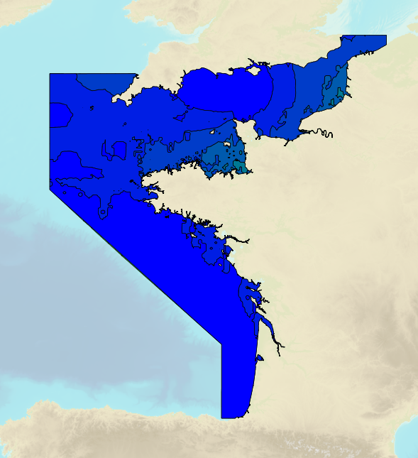
Tidal ranges on the French coasts of the Channel and the Atlantic for a coefficient of 20 : minimum tidal range for average atmospheric conditions. The tidal range is the difference in height between consecutive low tides and high tides.
-
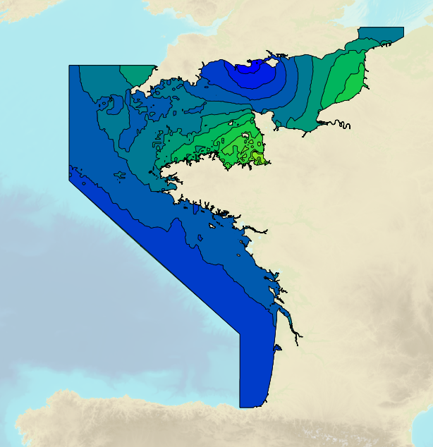
Tidal ranges on the French coasts of the Channel and the Atlantic for a coefficient of 95 : tidal range for mean neap tides for average atmospheric conditions. The tidal range is the difference in height between consecutive low tides and high tides.
-
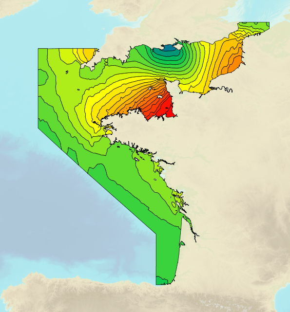
Tidal ranges on the French coasts of the Channel and the Atlantic for a coefficient of 95 : maximal tidal range for average atmospheric conditions. The tidal range is the difference in height between consecutive low tides and high tides.
-
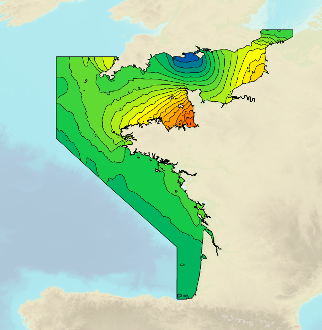
Tidal ranges on the French coasts of the Channel and the Atlantic for a coefficient of 95 : tidal range for mean spring tides for average atmospheric conditions. The tidal range is the difference in height between consecutive low tides and high tides.
-
This product includes Shom 3D digital data on tidal currents in the area "Loire" in shapefile and geotiff formats. These digital files provide information on tidal current components (speed and direction) on an hourly basis (6 hours either side of high water for a reference port), and for two typical tidal coefficients (45 and 95). Brest is taken as the reference port. Four layers are available: Surface; mid-depth; - 10 m above the sea bed and sea-bed.
-
The Histolitt® coastline corresponds to the high tide line with an astronomic tidal coefficient of 120 and in normal weather conditions (no sea breeze and no low pressure systems likely to raise sea level). The Histolitt® coastline models this theoretical input as a series of 2D polylines. In mainland France, it is recommended to use the land-sea limit product which replaces this Histolitt® coastline. There is no land-sea limit in the French overseas areas for the moment.