 Catalogue Shom
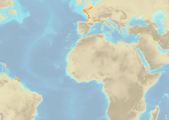
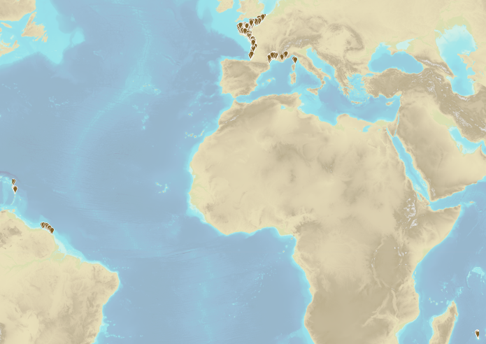
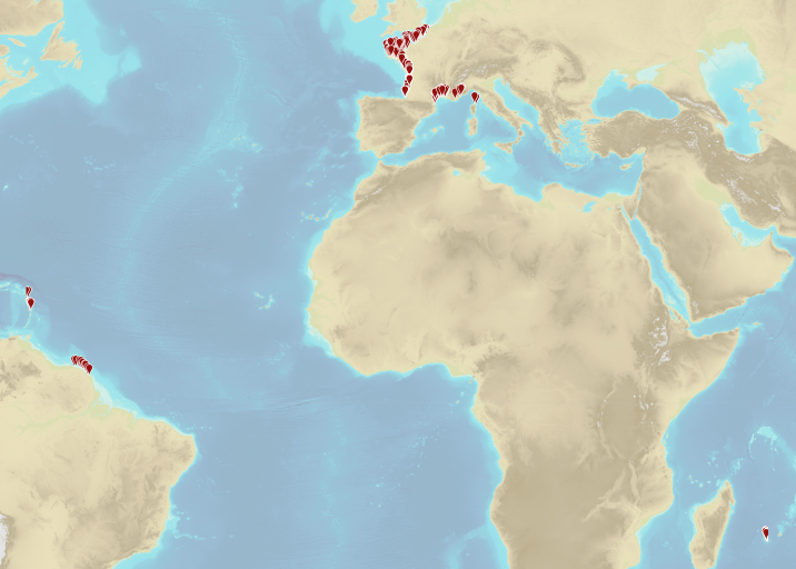
Zones de gestion, de restriction ou de réglementation et unités de déclaration
Type of resources
Available actions
Topics
Provided by
Years
Formats
Representation types
Update frequencies
Scale
-
The "Military practice areas" product contains vector data in the form of 2D surface objects describing the military practice areas in the France sector represented on Zonex variants of nautical charts. This is the S-57 MIPARE object class (military practice areas): maritime zone within which military, naval or air exercises can take place.
-
The « Maritime Spatial Planning » product contains 2D areas vector objects representing the extent of the maritime spatial plan (« MSP Spatial Plan » layer) and the extent of the corresponding vocation zones (« MSP Zoning Element » layer), defined in each strategic façade document.
-
The regulatory part of Volume IX of rural and sea fisheries laws is defined by the decree No 2014-1608 of 26 December 2014. In particular, Article D922-16 of the appendix to the decree defines a limit related to fisheries located at 3 nautical miles from the low waterline of the continent and islands and islets which are always dry. In the particular case of Mayotte Island, in compliance with Article 61 of the prefectural decree No 2018-681 of 30 July 2018 which regulates the exercise of sea fisheries at Mayotte department, this limits is located at 3 nautical miles from the in force baselines.
-

The "Military practice areas" product contains vector data in the form of 2D surface objects describing the military practice areas in the France sector represented on Zonex variants of nautical charts. This is the S-57 MIPARE object class (military practice areas): maritime zone within which military, naval or air exercises can take place.
-
Couche d'information géographique contenant les Limites Transversales de la Mer (LTM) - France métropolitaine, Guyane Française, Martinique, Guadeloupe, Réunion. Cette donnée a été soumise à validation auprès des services compétents. Cependant le shom reste preneur de toute information complémentaire ou permettant de préciser cette donnée. Les cours d'eau inventoriés sont ceux cités dans la réglementation en vigueur et/ou par un service de l'Etat compétent. En préalable à la production, un inventaire de l'existant (informations juridiques et géographiques) a été réalisé grâce à une enquête auprès des services au second semestre 2014.Pour chaque limite proposée, un accès au texte juridique source et à une fiche de synthèse récapitulant les modalités de numérisation de la limite est accessible. Version de juillet 2018
-
Couche d'information géographique contenant les Limites de Salure des Eaux (LSE) - France métropolitaine, Guyane Française, Martinique, Guadeloupe, Réunion. Cette donnée a été soumise à validation auprès des services compétents. Cependant le shom reste preneur de toute information complémentaire ou permettant de préciser cette donnée. Les cours d'eau inventoriés sont ceux cités dans la réglementation en vigueur et/ou par un service de l'Etat compétent. En préalable à la production, un inventaire de l'existant (informations juridiques et géographiques) a été réalisé grâce à une enquête auprès des services au second semestre 2014.Pour chaque limite proposée, un accès au texte juridique source et à une fiche de synthèse récapitulant les modalités de numérisation de la limite est accessible. Version de juillet 2018
-
Geographic information layer including the Limit of maritime affairs - mainland France, French Guiana, Martinique and Guadeloupe. This layer must be considered as an initial version to be validated locally by the competent services. Shom actively seeks out any information which could complete and improve the precision of this layer. The streams and rivers listed correspond to those mentioned in the applicable regulations and/or by a competent Government service. An inventory of existing legal and geographic information was drawn up prior to production in the form of an enquiry targeting services during the second half of 2014. The source legal text and a summary of digital conversion processes is available for each boundary proposed.Updated july 2018
-
Geographic information layer including the Saline limit of waters - mainland France, French Guiana, Martinique and Guadeloupe. This layer must be considered as an initial version to be validated locally by the competent services. Shom actively seeks out any information which could complete and improve the precision of this layer. The streams and rivers listed correspond to those mentioned in the applicable regulations and/or by a competent Government service. An inventory of existing legal and geographic information was drawn up prior to production in the form of an enquiry targeting services during the second half of 2014. The source legal text and a summary of digital conversion processes is available for each boundary proposed.Updated july 2018
-
Geographic information layer including the Transverse limit of the sea - mainland France, French Guiana, Martinique and Guadeloupe. This layer must be considered as an initial version to be validated locally by the competent services. Shom actively seeks out any information which could complete and improve the precision of this layer. The streams and rivers listed correspond to those mentioned in the applicable regulations and/or by a competent Government service. An inventory of existing legal and geographic information was drawn up prior to production in the form of an enquiry targeting services during the second half of 2014. The source legal text and a summary of digital conversion processes is available for each boundary proposed.Updated july 2018
-
Couche d'information géographique contenant les Limites des Affaires Maritimes (LAM) - France métropolitaine, Guyane Française, Martinique, Guadeloupe, Réunion. Cette donnée a été soumise à validation auprès des services compétents. Cependant le shom reste preneur de toute information complémentaire ou permettant de préciser cette donnée. Les cours d'eau inventoriés sont ceux cités dans la réglementation en vigueur et/ou par un service de l'Etat compétent. En préalable à la production, un inventaire de l'existant (informations juridiques et géographiques) a été réalisé grâce à une enquête auprès des services au second semestre 2014.Pour chaque limite proposée, un accès au texte juridique source et à une fiche de synthèse récapitulant les modalités de numérisation de la limite est accessible.