 Catalogue Shom
GeoPackage
Type of resources
Available actions
Topics
Provided by
Years
Formats
Representation types
-

The « Maritime Spatial Planning » product contains 2D areas vector objects representing the extent of the maritime spatial plan (« MSP Spatial Plan » layer) and the extent of the corresponding vocation zones (« MSP Zoning Element » layer), defined in each strategic façade document.
-
The “French sub-rectangles of the ICES fishery statistical rectangles” product contains 2D areas vector objects representing a sub-rectangle division of ICES statistical rectangles. Each product polygon belongs to an unique ICES rectangle. This subdivision enables distinction between overlapping areas in two or more EEZs, areas of functional interest and areas of regulatory interest.
-
"Aids ton navigation" product contains a description of landmarks, beaconage or buoyage, in the French Exclusive Economic Zone (EEZ).
-
"Aids ton navigation" product contains a description of landmarks, beaconage or buoyage, in the French Exclusive Economic Zone (EEZ). <br /> June 04 2025 version
-
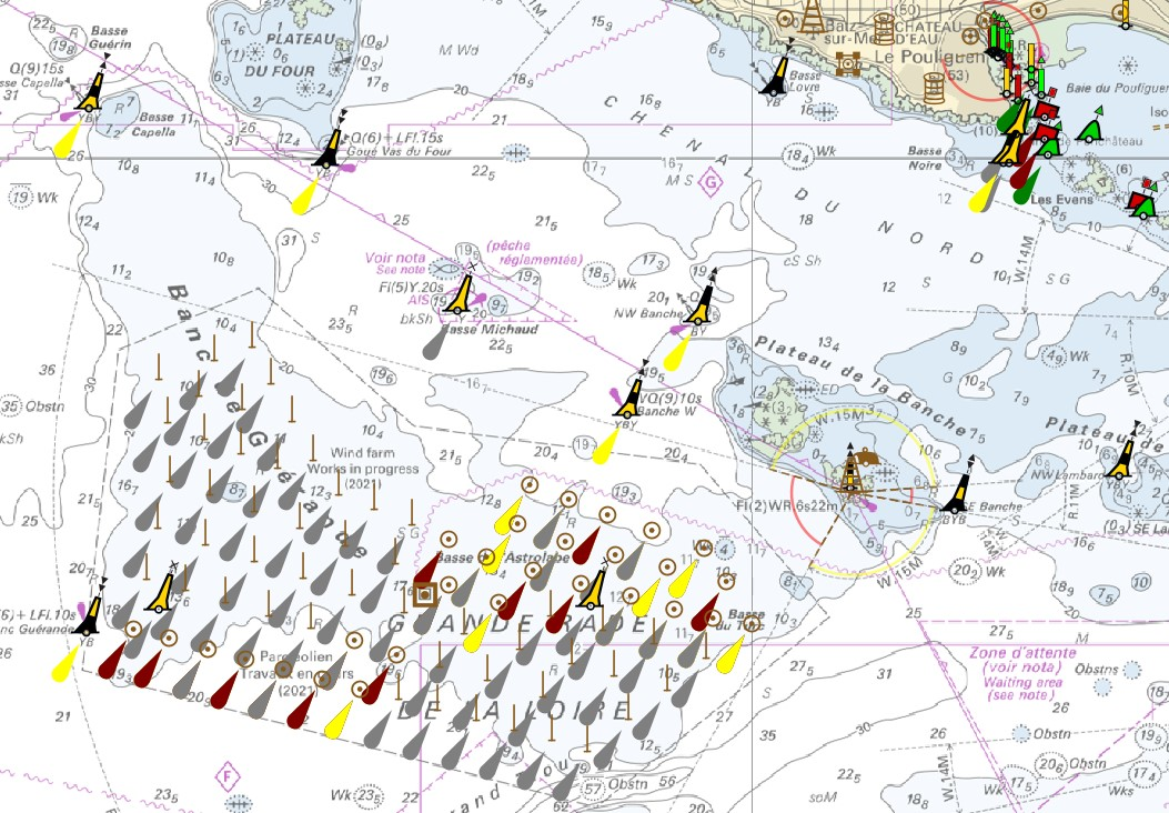
The product "Wrecks and obstructions" contains a description of wrecks and obstructions in the French Exclusive Economic Zone (EEZ) as 2D point objects. Objects of the product "Wrecks and obstructions" are divided into 2 classes: - Wrecks (WRECKS): all or part of a stranded or sunken ship or aircraft; - Obstructions (OBSTRN): object of an artificial nature other than a wreck (for example: container, lost anchor). This product does not concern floating or drifting objects (containers, debris, buoys out of position, ...) which position changes rapidly.
-
The product "Wrecks and obstructions" contains a description of wrecks and obstructions in the French Exclusive Economic Zone (EEZ) as 2D point objects. Objects of the product "Wrecks and obstructions" are divided into 2 classes: - Wrecks (WRECKS): all or part of a stranded or sunken ship or aircraft; - Obstructions (OBSTRN): object of an artificial nature other than a wreck (for example: container, lost anchor). This product does not concern floating or drifting objects (containers, debris, buoys out of position, ...) which position changes rapidly.