 Catalogue Shom
150000
Type of resources
Available actions
Topics
Keywords
Provided by
Years
Formats
Representation types
Update frequencies
status
Scale
-
Seamless Shom nautical charts - West Africa - EAtHC is a product composed of digital images taken from Shom nautical charts, with no additions, legends or georeferencing information. At a given scale, it is possible to view only the maps with a scale that allows a correct display. The footprint of all the maps composing this product are shown. Unless exceptional circumstances apply, this product is updated on a monthly basis and the modified grid squares are re-published, replacing the previous versions. All corrections, publications and editions with an effect on the reference nautical charts are taken into consideration.
-
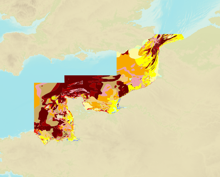
The product is a digital solution showing superficial sediments on the sea floor along coasts in mainland France.
-
Seamless Shom nautical charts - West Africa is a product composed of digital images taken from Shom nautical charts, with no additions, legends or georeferencing information. At a given scale, it is possible to view only the maps with a scale that allows a correct display. The footprint of all the maps composing this product are shown. Unless exceptional circumstances apply, this product is updated on a monthly basis and the modified grid squares are re-published, replacing the previous versions. All corrections, publications and editions with an effect on the reference nautical charts are taken into consideration.
-
Image numérique scannée non géoréférencée de la 2682 Date d'édition : 1955 Date de publication : 1868 Date de révision : 1960 Support de l'original: papier Dimensions : 820mm x 1061mm Description : Carte levée de 1839 à 1844 par M.M. Monnier, Le Bourguignon-Duperré et Bégat, ingénieurs hydrographes.
-
Image numérique scannée non géoréférencée de la 2682 Date d'édition : 1976 Date de publication : 1868 Date de révision : 1983 Support de l'original: papier Dimensions : 820mm x 1066mm Description : Carte publiée en 1868 d'après de levés de 1838 à 1844.
-
Juzur Ashrafi Islands to Safaga (Bur Safajah) and Strait of Tiran; Red Sea - Egypt and Saudi Arabia; Cartes de cabotage; Édition 6 du 04/09/2025
-
Ports in Cape Verde; North Atlantic Ocean; Cartes de pilotage côtier; Édition 4 du 08/08/2018
-
The Sound; Entrance to the Baltic; Cartes de cabotage; Édition 8 du 31/03/2022
-
Sihanoukville and Approaches; Gulf of Thailand - Cambodia; Cartes de cabotage; Édition 3 du 12/06/2025
-
Saint Agnes Head to Dodman Point including the Isles of Scilly; English Channel; Cartes de cabotage; Édition 11 du 07/09/2021