 Catalogue Shom
irregular
Type of resources
Available actions
Topics
Keywords
Provided by
Years
Formats
Representation types
Update frequencies
status
Scale
Resolution
-
The Tidal stream atlas netcdf product – Seine Bay provides tidal current data for an area stretching from Fecamp at the east of the area to Cherbourg at the west. The product consists of two gridded files with different spatial resolutions covering the Seine Bay area (overall view at 500 m) and the geographical area of Le Havre harbour (250 m). The U and V velocities of the tidal currents depend on the tidal conditions considered at mean neap and spring tidal rates. The data are provided in m/s for the surface layer. The times are given in relation to high tide or low tide at the reference port chosen in the area and are provided from 6 hours before to 6 hours after that reference.
-
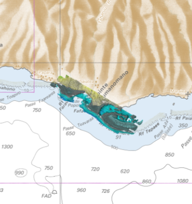
Lidar marine part is a unique and continuous land-sea database which can provide 3D models of the shape and location of French coastal terrain. A line separates sea and land data acquisition zones, and the associated survey readings obtained using bathymetric lidar technologies or multibeam echosounders for sea readings and airborne lidar topographical surveys for land readings, with 300 m overlap. Litto3D digital models are available in two formats: a set of 3D points and a qualified terrain mesh. The product Taharuu 2015 V. 20160630 corresponds to the zone: Mouth of Taharuu.
-
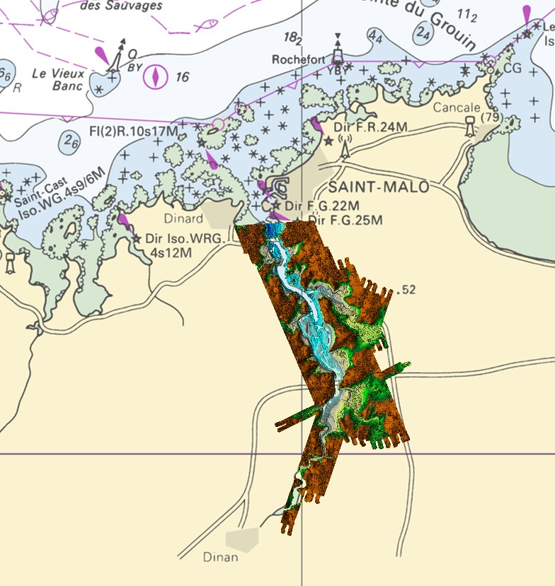
Lidar marine product is a unique and continuous land-sea database which can provide 3D models of the shape and location of french coastal terrain. Surveys are carried out by airborne lidar bathymetry over the sea side and airborne lidar topography over the land side up to 400m inland. This marine product is available in two formats: a set of 3D points and a qualified terrain mesh.
-

Litto3D Marine Part is an intermediate product of the Litto3D product containing only marine data.Litto3D is a unique and continuous land-sea database which can provide 3D models of the shape and location of French coastal terrain. A line separates sea and land data acquisition zones, and the associated survey readings obtained using bathymetric lidar technologies or multibeam echosounders for sea readings and airborne lidar topographical surveys for land readings, with 300 m overlap. Litto3D digital models are available in two formats: a set of 3D points and a qualified terrain mesh.
-
The Tidal stream atlas netcdf product – Strait of Dover provides tidal current data for an area stretching from the coast of Flanders east of Dunkirk to Saint-Valery-en-Caux. The product consists of four gridded files with different spatial resolutions covering the Strait of Dover area (overall view at 500 m) and the geographical areas of the ports of Dunkirk (250 m), Calais (250 m) and Boulogne-sur-Mer (250 m). The U and V velocities of the tidal currents depend on the tidal conditions considered at mean neap and spring tidal rates. The data are provided in m/s for the surface layer. The times are given in relation to high tide at the reference port chosen in the area and are provided from 6 hours before to 6 hours after that reference.
-
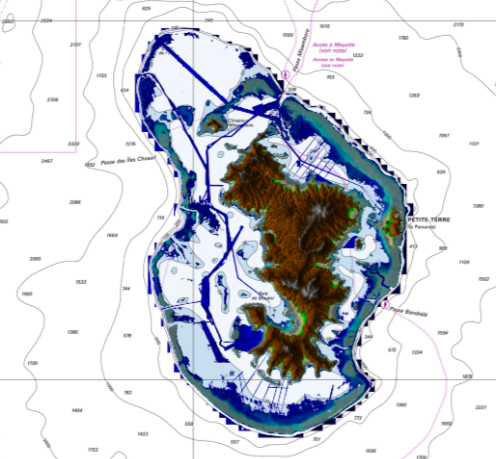
Litto3D is a unique and continuous land-sea database which can provide 3D models of the shape and location of French coastal terrain. A line separates sea and land data acquisition zones, and the associated survey readings obtained using bathymetric lidar technologies or multibeam echosounders for sea readings and airborne lidar topographical surveys for land readings, with 300 m overlap. Litto3D digital models are available in two formats: a set of 3D points and a qualified terrain mesh.
-
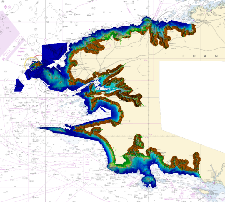
Litto3D is a unique and continuous land-sea database which can provide 3D models of the shape and location of French coastal terrain. A line separates sea and land data acquisition zones, and the associated survey readings obtained using bathymetric lidar technologies or multibeam echosounders for sea readings and airborne lidar topographical surveys for land readings, with 300 m overlap. Litto3D digital models are available in two formats: a set of 3D points and a qualified terrain mesh.
-
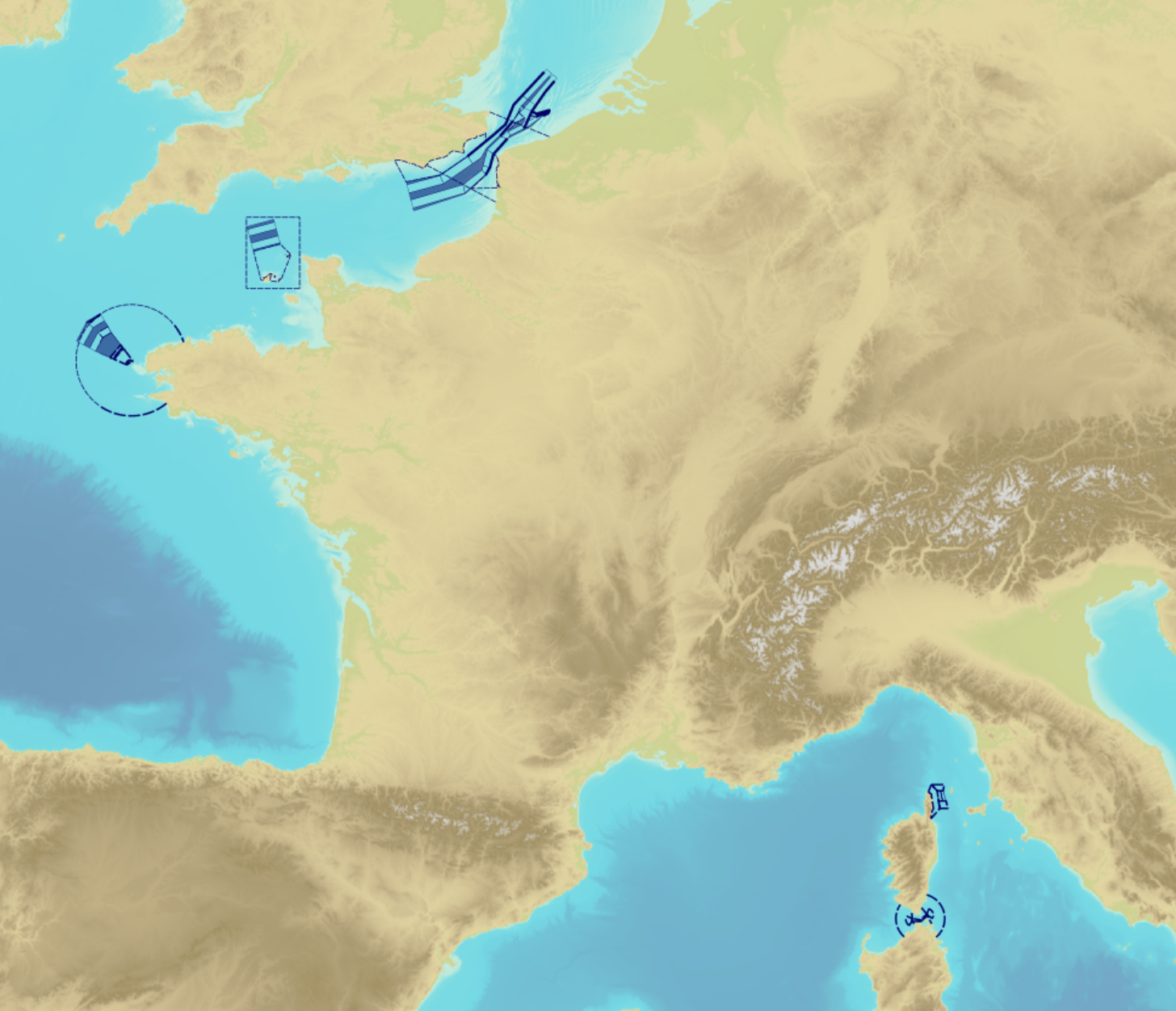
"Traffic Separation Schemes" product contains a description of TSS in French maritime spaces. A TSS is a routeing measure aimed at the separation of opposing streams of traffic by appropriate means and notably by the establishment of traffic lanes. The measures taken aim at improving navigation safety in areas where navigation is threatened by the density of traffic associated with various natural difficulties. Several classes of objects constitute this product, the acronyms used are those of IHO standard S-57: - Traffic separation scheme lane part (TSSLPT): area of a traffic lane in which the direction of flow of traffic is uniform; - Traffic separation scheme boundary (TSSBND): outer limit of a traffic lane part or a traffic separation scheme roundabout; - Traffic separation line (TSELNE): common boundary between two traffic lanes, or between one traffic lane and one inshore traffic zone; - Traffic separation zone (TSEZNE): separation areas between two traffic lanes, or between one traffic lane and one inshore traffic zone, or to the central area of a roundabout; - Inshore traffic zone (ISTZNE): area between the landward boundary of a traffic separation scheme and the adjacent coast; - Precautionary area (PRCARE): area, within defined limits, where ships must navigate with particular caution, and within which the direction of traffic flow may be recommended; - Deep water route part (DWRTPT): sections within which the flow of traffic either follows one defined direction for one-way traffic, or follows one defined direction and its reciprocal for two-way traffic. A deep-water route is a route in a designated area within defined limits which has been accurately surveyed for clearance of sea bottom and submerged obstacles to a minimum indicated depth of water; - Two-way route part (TWRTPT): sections within which traffic flows in two directions along one bearing and its reciprocal. These route parts are generally two-way, but some may be restricted to one-way traffic flow; - Radio calling-in line (RDOCAL_lne) : positions at which vessels are required to report to a traffic control centre.
-
The Tidal stream atlas netcdf product – Northern Brittany provides tidal current data for an area stretching from Tregastel at the east of the area to Porsguen at the west. The product consists of two gridded files with different spatial resolutions covering the Northern Brittany area (overall view at 500 m) and the geographical area of the port of Roscoff (250 m). The U and V velocities of the tidal currents depend on the tidal conditions considered at mean neap and spring tidal rates. The data are provided in m/s for the surface layer. The times are given in relation to high tide at the reference port chosen in the area and are provided from 6 hours before to 6 hours after that reference.
-

Bathymetric datasets are an extraction of surveys belonging to the Shom public database. For depth up to 50m, the vertical precision of soundings varies from 30cm to 1m and the horizontal precision varies from 1 to 20m. In deep ocean, the vertical precision is mainly around 1 or 2% of the bottom depth. It is sometimes more, it depends on the technology used. The data are referenced to ZH which is assimilated to LAT. Data are corrected for sound velocity variations. <br /> October 27 2025 version