 Catalogue Shom
150000
Type of resources
Available actions
Topics
Keywords
Provided by
Years
Formats
Representation types
Update frequencies
status
Scale
-
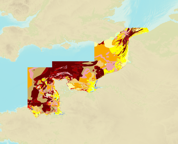
The product is a digital solution showing superficial sediments on the sea floor along coasts in mainland France.
-
Seamless Shom nautical charts - West Africa is a product composed of digital images taken from Shom nautical charts, with no additions, legends or georeferencing information. At a given scale, it is possible to view only the maps with a scale that allows a correct display. The footprint of all the maps composing this product are shown. Unless exceptional circumstances apply, this product is updated on a monthly basis and the modified grid squares are re-published, replacing the previous versions. All corrections, publications and editions with an effect on the reference nautical charts are taken into consideration.
-
Seamless Shom nautical charts - West Africa - EAtHC is a product composed of digital images taken from Shom nautical charts, with no additions, legends or georeferencing information. At a given scale, it is possible to view only the maps with a scale that allows a correct display. The footprint of all the maps composing this product are shown. Unless exceptional circumstances apply, this product is updated on a monthly basis and the modified grid squares are re-published, replacing the previous versions. All corrections, publications and editions with an effect on the reference nautical charts are taken into consideration.
-
Image numérique scannée non géoréférencée de la 2682 Date d'édition : 1955 Date de publication : 1868 Date de révision : 1960 Support de l'original: papier Dimensions : 820mm x 1061mm Description : Carte levée de 1839 à 1844 par M.M. Monnier, Le Bourguignon-Duperré et Bégat, ingénieurs hydrographes.
-
Cape three Points to Saltpond; Ghana; Cartes de cabotage; Édition 4 du 12/06/2019
-
Flamborough Head to Blakeney Point; England - East Coast; Cartes de cabotage; Édition 18 du 29/02/2024
-
Cape three Points to Saltpond; Ghana; Cartes de cabotage; Édition 4 du 12/06/2019
-
Carte marine imprimée N°7052 De Nouméa à l'Île des Pins - Le Grand lagon Sud
-
Nísos Náxos to Vráchoi Kalógeroi; Aegean Sea - Greece; Cartes de cabotage; Édition 3 du 02/08/2017
-
Nísos Kálymnos to Nísos Ikaría including Güllük Körfezi; Aegean Sea - Greece and Turkey; Cartes de cabotage; Édition 4 du 15/06/2023