 Catalogue Shom
20000
Type of resources
Available actions
Topics
Keywords
Provided by
Years
Formats
Representation types
Update frequencies
status
Scale
-
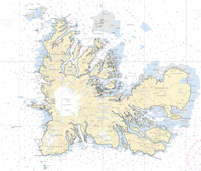
The high resolution Coastline corresponds to the Highest Astronomical Tide (HAT) with a tidal coefficient of 120 and in normal weather conditions (no sea breeze and mean atmospheric pressure of 1013 hPa). The high resolution coastline is available in french subantarctic islands (984).
-
The high resolution Coastline corresponds to the Highest Astronomical Tide (HAT) with a tidal coefficient of 120 and in normal weather conditions (no sea breeze and mean atmospheric pressure of 1013 hPa).
-
Seamless Shom nautical charts - West Africa - EAtHC is a product composed of digital images taken from Shom nautical charts, with no additions, legends or georeferencing information. At a given scale, it is possible to view only the maps with a scale that allows a correct display. The footprint of all the maps composing this product are shown. Unless exceptional circumstances apply, this product is updated on a monthly basis and the modified grid squares are re-published, replacing the previous versions. All corrections, publications and editions with an effect on the reference nautical charts are taken into consideration.
-
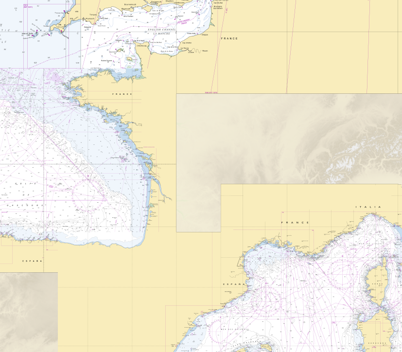
RasterMarine is a series of digital images taken from nautical charts, with no additions, legends or georeferencing information. The RasterMarine range is available at five sets of scales: - RasterMarine 20 1: 20,000 - RasterMarine 50 1: 50,000 - RasterMarine 150 1: 150,000 - RasterMarine 400 1: 400,000 - RasterMarine 1M 1: 1,000,000. Unless exceptional circumstances apply, the RasterMarine range is updated on a weekly basis and the modified grid squares are re-published, replacing the previous versions. All corrections, publications and editions with an effect on the reference nautical charts are taken into consideration. <br /> 27/11/2025 version <br />
-
Seamless Shom nautical charts - West Africa is a product composed of digital images taken from Shom nautical charts, with no additions, legends or georeferencing information. At a given scale, it is possible to view only the maps with a scale that allows a correct display. The footprint of all the maps composing this product are shown. Unless exceptional circumstances apply, this product is updated on a monthly basis and the modified grid squares are re-published, replacing the previous versions. All corrections, publications and editions with an effect on the reference nautical charts are taken into consideration.
-
Image numérique scannée non géoréférencée de la Définitive 035_G_0607 Date de création : 1952 Support de l'original: Dimensions : 775mm x 1093mm
-
Image numérique scannée non géoréférencée de la Réduction au pantographe 010_3_188 Date de création : 1966 Support de l'original: Dimensions : 526mm x 755mm
-
Image numérique scannée non géoréférencée de la Définitive 300_10_0130 Date de création : 1952 Support de l'original: Dimensions : 750mm x 1050mm
-
Image numérique scannée non géoréférencée de la Bathymétrie 2003_49_03 Date de création : 2000 Support de l'original: Film polyester Dimensions : 1250mm x 840mm Description : SMF 20-3, rapport particulier n° 127 MHA/NP du 10/06/2002.
-
Image numérique scannée non géoréférencée de la Bathymétrie 1978_23_03 Date de création : 1978 Support de l'original: Dimensions : 1047mm x 757mm