 Catalogue Shom
boundaries
Type of resources
Available actions
Topics
Keywords
Contact for the resource
Provided by
Years
Formats
Representation types
Update frequencies
Scale
-
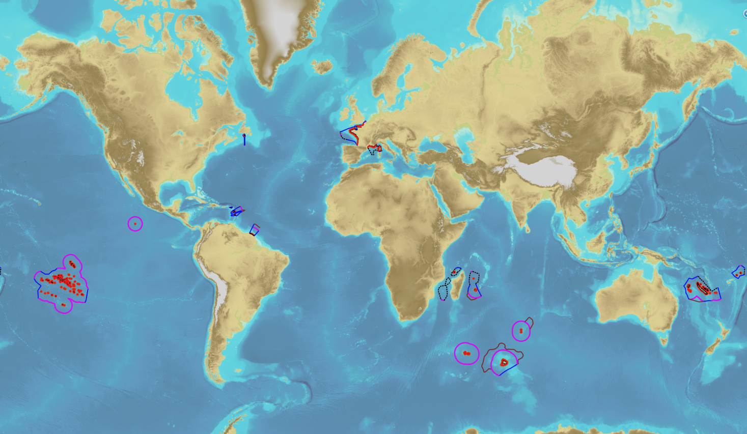
The product “Maritime limits and boundaries” (French: “Délimitations maritimes”) gathers all the elements used for the definition of the maritime spaces under the French sovereignty or jurisdiction through the world. Those spaces are defined by the Ordonnance n° 2016-1687 of 8 December 2016 relating to maritime spaces under sovereignty or jurisdiction of the French Republic. This ordonnance is the transcription in the French legislation of the United Nations Convention on the Law of the Sea (UNCLOS) which was signed in Montego Bay (Jamaica) on 10 December 1982 end ratified by France on 11 April 1996. These elements of maritime limits and boundaries come from the limits computed by Shom on the basis of International Law, from the international agreements relating to maritime boundary and the technical conventions ratified between France and other States, from the decisions of international juridical bodies, from the recommendations of the Commission of the Limits of the Continental Shelf (UNO) or from unilateral claims from France in the absence of agreement. The elements are divided into seven themes: 1- Straight baselines 2- Outer limits of the territorial sea (12 nautical miles) 3- Outer limits of the contiguous zone (24 nautical miles) 4- Outer limits of the exclusive economic zone (200 nautical miles) 5- Maritime boundaries established by a bilateral agreement or decided by an international juridical body 6- Maritime boundaries unilaterally claimed by France in the absence of agreement 7- Outer limit of the continental shelf beyond 200 nautical miles December 2022 version
-
In compliance with Article 3 of UNCLOS, the outer limit of the territorial sea is located at 12 nautical miles from the baselines. It corresponds to the inner limit of the contiguous and exclusive economic zones. The objects of the theme "Outer limit of the territorial sea" result from Shom computations and are published by decree of the French Republic. Some of those limits are note published by decree yet.
-
In compliance with Article 57 of UNCLOS, the outer limit of the exclusive economic zone (EEZ) is located at 24 nautical miles from the baselines. This limit distinguishes the EEZ from the High Sea. Beyond this limit, an extension of the continental shelf is possible subject to the criterias of Article 76 of UNCLOS. The objects of the theme "Outer limit of the exclusive economic zone" result from Shom computations and are compliant with Article 10 of the French Order No 2016-1687 of 8 December 2016. They are published by decree of the French Republic.
-
In the absence of a maritime boundary agreement with a neighbouring State, the French Republic can unilateraly claim a delimitation. This boundary has indeed a provisional aspect pending the ratification of a boundary agreement. The theme "Maritime limits unilaterally claimed" gathers those limits unilaterally claimed by France. Some of those elkements are published by decree.
-
Compilation of marine gravity surveys acquired in the Northeast Atlantic by Shom between 2001 and 2016. These surveys were compiled to perform a quantification of the error of the gravity anomaly models derived from satellite altimetry. This dataset represents more than 22,000 measurement points distributed in 9 ascii survey files sampled at 1 kilometer. The file’s format is as follows: longitude latitude Gravity_anomaly error line_label.
-
The theme "Agreed maritime boundaries" contains the delineation limits between maritime spaces under sovereignty or jurisdiction of France et neighbouring States which are established by ratification of a boundary agreement or by a decision of an arbitral tribunal or an international legal body entitled to deal with cases relating to the Law of the Sea.
-
The contiguous zone is adjacent to the territorial sea and may not extend beyond 24 nautical miles from the baselines from which the breadth of the territorial sea is measured. The coastal State may exercise the control necessary to: - prevent infringement of its customs, fiscal, immigration or sanitary laws and regulations within its territory or territorial sea; - punish infringement of the above laws and regulations committed within its territory or territorial sea.
-
The United Nations Convention on the law of the sea (UNCLOS) introduced a new definition of the continental shelf which can extend “to the outer edge of the continental margin, or to a distance of 200 nautical miles from the baselines from which the breadth of the territorial sea is measured where the outer edge of the continental margin does not extend up to that distance.” Coastal States can thus have a continental shelf of 200 nautical miles even in the absence of a geomorphological continental shelf, and a continental shelf extending beyond that limit where the presence of certain geomorphological and sedimentary criteria have been recognized by the Commission on the Limits of the Continental Shelf (CLCS). The rights coastal State can exercise over the continental shelf are specified in Part VI of the UNCLOS. These rights are sovereign and exclusive over the seabed and subsoil, for exploration and exploitation of natural mineral, fossil and biological resources. The French authorities also hold competence recognized by the UNCLOS for: - construction, operation and use of artificial islands and installations; - marine scientific research; - issuing consent for the course of any pipeline; - issuing consent for the course of cables installed or used for exploitation of the continental shelf or of its resources.
-
The exclusive economic zone is adjacent to the territorial sea and extends to a maximum distance of 200 nautical miles calculated from the baselines. This is a space in which the coastal State do not practice its entire sovereignty but only the following rights: - sovereign rights over the water column, the bed and subsoil for the purposes of: - exploration, exploitation, conservation and management of natural resources, whether biological or not; - exploration and exploitation of the zone for economic purposes, such as the production of energy from water, currents and wind; - jurisdiction concerning the following fields: - construction and use of artificial islands, facilities and works; - marine scientific research; - protection and preservation of the marine environment. Apart from the rights and obligations of the coastal States cited above, the exclusive economic zone is a space open to the exercise by any other State of the freedoms set down in the United Nations Convention on the law of the sea (UNCLOS) (navigation, overflight, etc.), within the limits set by the Convention.
-
In the Law of the Sea, the continental shelf located beyond 200 nautical miles affects the seabed and its subsoil on which the coastal State exerts sovereign rights for purposes of exploration and exploitation of its natural ressources. In those areas, the wealth generated by the exploitation of the natural ressources are shared via the International Seabed Authority between the States which have signed UNCLOS (in particular with the developping States or the ones which do not have access to the sea). The outer limit of the continental shelf beyond 200 nautical miles is determined in compliance with the criterias of Article 76 of UNCLOS and notably by the examination of a submission deposited by the Coastal State to the Commission for the Limits of the Continental Shelf (CLCS). the outer limit of the French continental shelf beyond 200 nautical miles is the final result of the national program EXTRAPLAC after the adoption of recommandations by CLCS, the delineation of the attributed areas with neighbouring States if necessary and the publication by decree. The theme "Outer limit of the continental shelf beyond 200 nautical miles" gathers the limits of the extended continental shelf which has been recommended by CLCS and published by a decree of the French Republic.