 Catalogue Shom
20000
Type of resources
Available actions
Topics
Keywords
Provided by
Years
Formats
Representation types
Update frequencies
status
Scale
-
Seamless Shom nautical charts - West Africa - EAtHC is a product composed of digital images taken from Shom nautical charts, with no additions, legends or georeferencing information. At a given scale, it is possible to view only the maps with a scale that allows a correct display. The footprint of all the maps composing this product are shown. Unless exceptional circumstances apply, this product is updated on a monthly basis and the modified grid squares are re-published, replacing the previous versions. All corrections, publications and editions with an effect on the reference nautical charts are taken into consideration.
-
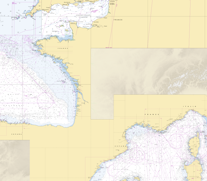
RasterMarine is a series of digital images taken from nautical charts, with no additions, legends or georeferencing information. The RasterMarine range is available at five sets of scales: - RasterMarine 20 1: 20,000 - RasterMarine 50 1: 50,000 - RasterMarine 150 1: 150,000 - RasterMarine 400 1: 400,000 - RasterMarine 1M 1: 1,000,000. Unless exceptional circumstances apply, the RasterMarine range is updated on a weekly basis and the modified grid squares are re-published, replacing the previous versions. All corrections, publications and editions with an effect on the reference nautical charts are taken into consideration. <br /> 09/10/2025 version <br />
-
Seamless Shom nautical charts - West Africa is a product composed of digital images taken from Shom nautical charts, with no additions, legends or georeferencing information. At a given scale, it is possible to view only the maps with a scale that allows a correct display. The footprint of all the maps composing this product are shown. Unless exceptional circumstances apply, this product is updated on a monthly basis and the modified grid squares are re-published, replacing the previous versions. All corrections, publications and editions with an effect on the reference nautical charts are taken into consideration.
-
The high resolution Coastline corresponds to the Highest Astronomical Tide (HAT) with a tidal coefficient of 120 and in normal weather conditions (no sea breeze and mean atmospheric pressure of 1013 hPa).
-
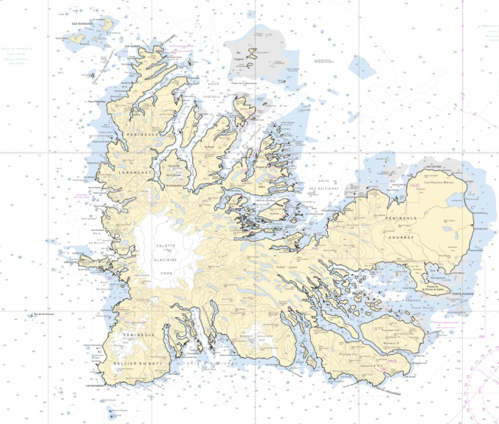
The high resolution Coastline corresponds to the Highest Astronomical Tide (HAT) with a tidal coefficient of 120 and in normal weather conditions (no sea breeze and mean atmospheric pressure of 1013 hPa). The high resolution coastline is available in french subantarctic islands (984).
-
Les produits RasterMarine se composent d'images numériques issues des cartes marines, sans habillage, ni légende, ni indications de géoréférencement. Les produits RasterMarine se déclinent en cinq gammes d'échelles : - RasterMarine20 1: 20 000 ; - RasterMarine50 1: 50 000 ; - RasterMarine150 1: 150 000 ; - RasterMarine400 1: 400 000 ; - RasterMarine1M 1: 1 000 000.
-
Image numérique scannée non géoréférencée de la Dessin de topographie 035_K_1064 Date de création : 1956 Support de l'original: Dimensions : 1200mm x 761mm
-
Image numérique scannée non géoréférencée de la Ecritures de sondes 003_1_55_07 Date de création : 1934 Support de l'original: Dimensions : 761mm x 1060mm
-
Image numérique scannée non géoréférencée de la Découpage projection Tirage Ozalid 300_10_0399bis Date de création : 1956 Support de l'original: Dimensions : 790mm x 605mm
-
Image numérique scannée non géoréférencée de la Calque de sondes 013_2_014_2 Date de création : 1825 Support de l'original: Calque Dimensions : 1008mm x 695mm Description : Portefeuille 13, division 2, pièce 14_1. Minute calque couleur. Carte des Côtes de France, (Embouchure de la Gironde et ses environs). Levée en 1825 par les Ingénieurs Hydrographes de la Marine, sous les ordres de M. Beautemps-Beaupré Ingénieur Hydrographe en Chef, membre de l'Académie Royale des Sciences et du Bureau des Longitudes. Publiée par ordre du Roi. Au dépôt général de la Marine en 1834