 Catalogue Shom
10000
Type of resources
Available actions
Topics
Keywords
Provided by
Years
Formats
Representation types
Update frequencies
status
Scale
-
The product "Distribution of the submarine dunes of the French continental shelf" contains digital vector data provided as 2D linear objects representing the crest of submarine dunes digitized from bathymetric surveys conducted by the Shom. When several surveys have been carried out on the same area or dune, the product contains the information from all the surveys. However, the data displayed on data.shom.fr is limited to the information from the most recent survey.
-

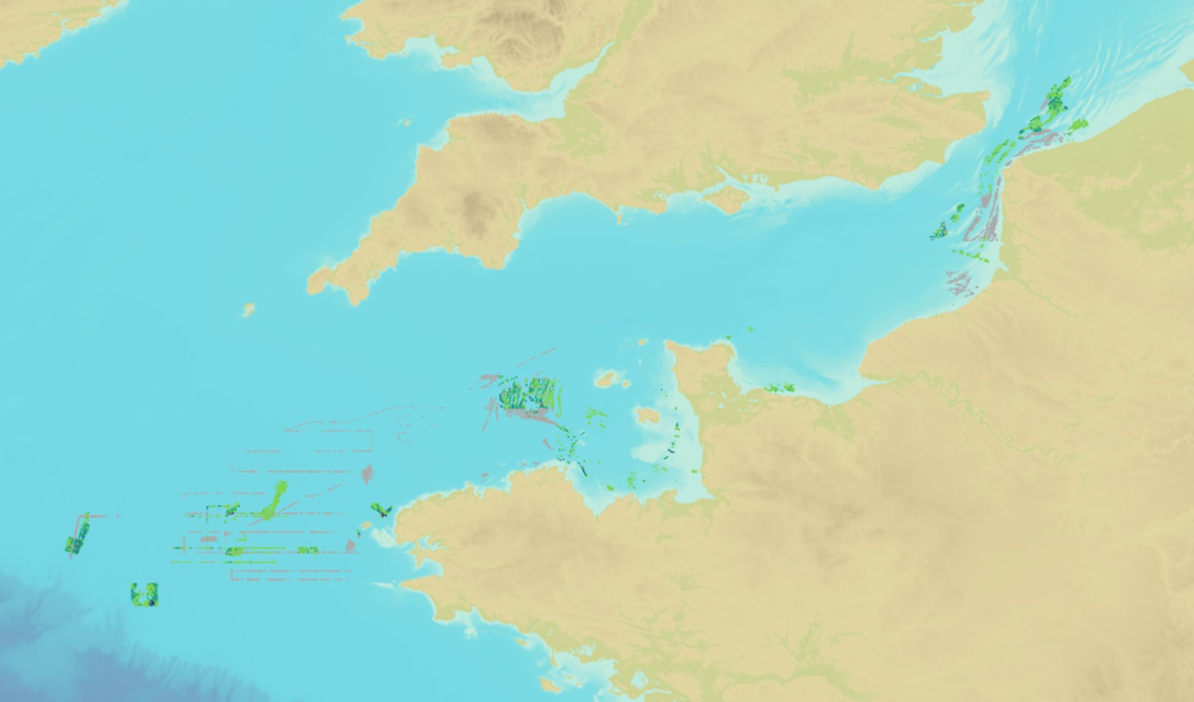
This product includes a map of the peaks of around 3,000 submarine dunes entered using bathymetric surveys by Shom. Each dune is marked out by a line showing its peak summit. Dune locations are precise to between 1 m (MBES data from the 2000-2010 period) and a dozen metres (data acquired prior to 2000 using a side sonar). The precision of the carrier location, the acquisition system and the MBES resolution (the distance between the systems acquired) also affect map precision. Submarine dunes can move at the rate of a few metres per year, but can also exceed 30 m/year. The precision of dune positions will therefore decrease with the age of the measurement.
-
The product "Distribution of the submarine dunes of the French continental shelf" contains digital vector data provided as 2D linear objects representing the crest of submarine dunes digitized from bathymetric surveys conducted by the Shom. When several surveys have been carried out on the same area or dune, the product contains the information from all the surveys. However, the data displayed on data.shom.fr is limited to the information from the most recent survey.
-
Image numérique scannée non géoréférencée de la Traster Topo 1992_65_03 Date de création : 1992 Support de l'original: Film polyester Dimensions : 750mm x 1100mm Description : Minute P 92_10_17-3, rapport descriptif n° 1352 EPSHOM/CH/GG/NP du 15/12/92
-
Image numérique scannée non géoréférencée de la Planicomp 1996_44_08 Date de création : 1996 Support de l'original: Film polyester Dimensions : 1045mm x 745mm Description : P 96_10_6-8, rapport descriptif n° 1054 EPSHOM/CH/GG/NP du 30/09/1996.
-
Image numérique scannée non géoréférencée de la Définitive 035_L_1128 Date de création : 1955 Support de l'original: Dimensions : 1200mm x 889mm
-
Image numérique scannée non géoréférencée de la Minute 2008_56_06 Date de création : 2007-2008 Support de l'original: Film polyester Dimensions : 1200mm x 751mm Description : RN 10-3, rapport particulier n° 185 SHOM/GOP/NP du 23/09/2008, (RAP2008-173).
-
Image numérique scannée non géoréférencée de la Rédaction de sondes 010_3_072 Date de création : 1959 Support de l'original: Dimensions : 850mm x 823mm
-
Image numérique scannée non géoréférencée de la 1980_08_079 Date de création : 1979 Support de l'original: Dimensions : 1180mm x 755mm
-
Image numérique scannée non géoréférencée de la Traster 1995_02_11 Date de création : 1995 Support de l'original: Film polyester Dimensions : 1097mm x 755mm Description : P 95_10_2-11 rapport particulier n° 167 EPSHOM/CH/GG/NP du 02/02/1995.