 Catalogue Shom
Keyword
ecosystems
Type of resources
Topics
Keywords
Provided by
Representation types
Update frequencies
Scale
From
1
-
1
/
1
-
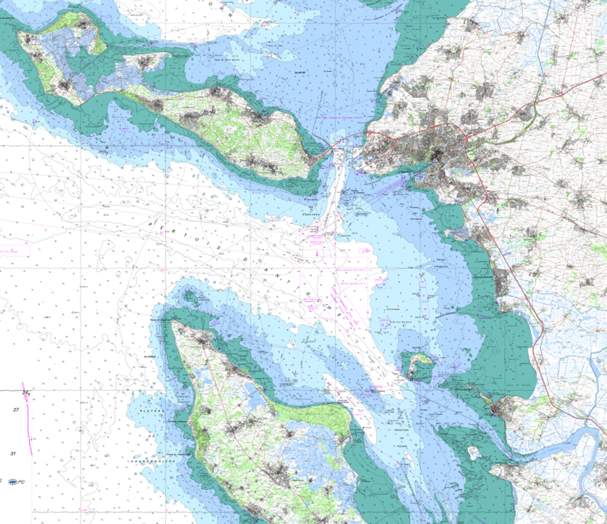
The product SCAN Littoral® is a collection of continuous colour digital map images of the coast, obtained via georeferenced assembling with grid squares of raster data from Shom nautical charts and IGN 1:25,000 land maps. The SCAN Littoral® solution includes a series of digital images with no additions, legends or georeferencing information.