 Catalogue Shom
Area management, restriction, regulation zones and reporting units
Type of resources
Available actions
Topics
Keywords
Provided by
Representation types
-
The "Military practice areas" product contains vector data in the form of 2D surface objects describing the military practice areas in the France sector represented on Zonex variants of nautical charts. This is the S-57 MIPARE object class (military practice areas): maritime zone within which military, naval or air exercises can take place.
-
The « Maritime Spatial Planning » product contains 2D areas vector objects representing the extent of the maritime spatial plan (« MSP Spatial Plan » layer) and the extent of the corresponding vocation zones (« MSP Zoning Element » layer), defined in each strategic façade document.
-
French Ministry of Culture / DRASSM - Shom The product "Limit of preventive archeology licence fee" contains the limits for the preventive archeology licence fee (1 nautical mile) as defined in the French Heritage Code. This limit is managed by the Department of Underwater Archeological Research (DRASSM) of the Ministry of Culture. This limit, defined by the Heritage Code at 1 nautical mile from the low-water line, permits to delineate the areas where the licence fee for preventive archeology at sea is applied. The product "Limit of preventive archeology licence fee" is to use in addition to the digital product “Maritime Limits and Boundaries” of Shom (French: “Délimitations maritimes”) which represents the limits of the French maritime spaces of sovereignty or jurisdiction through the World. The product “Maritime Limits and Boundaries” (French: “Délimitations maritimes”) can be viewed and downloaded on the French national portal of maritime limits (https://maritimelimits.gouv.fr).
-

The « Maritime Spatial Planning » product contains 2D areas vector objects representing the extent of the maritime spatial plan (« MSP Spatial Plan » layer) and the extent of the corresponding vocation zones (« MSP Zoning Element » layer), defined in each strategic façade document.
-

The "Military practice areas" product contains vector data in the form of 2D surface objects describing the military practice areas in the France sector represented on Zonex variants of nautical charts. This is the S-57 MIPARE object class (military practice areas): maritime zone within which military, naval or air exercises can take place.
-
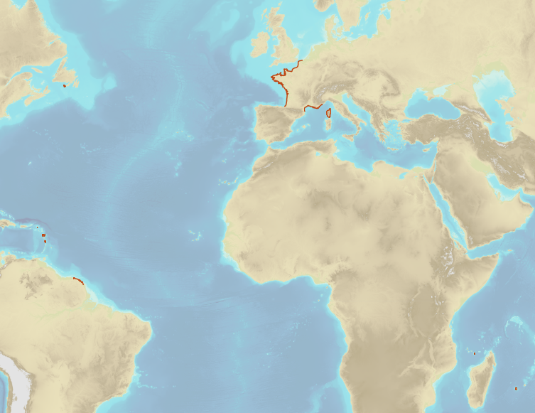
The Regulation (EU) No 1380/2013 of European Parliament and Council of 11 December 2013, in its second paragraph of Article 5, authorises Member States to establish coastal waters along its coasts. Those areas enable member States to restrain fisheries to specific species to specific Member States following precise rules (quotas, limited fishery season). The description of the French coastal waters is established in Part 6 of Appendix 1. The coastal waters extend from 6 nautical miles from in force baselines to 12 nautical miles from in force baselines. Only portions of the French coasts are concerned.
-
French Ministry of Culture / DRASSM – Shom The product "Limit of preventive archeology licence fee" contains the limits for the preventive archeology licence fee (1 nautical mile) as defined in the French Heritage Code. This limit is managed by the Department of Underwater Archeological Research (DRASSM) of the Ministry of Culture. This limit, defined by the Heritage Code at 1 nautical mile from the low-water line, permits to delineate the areas where the licence fee for preventive archeology at sea is applied. In Mainland France in the Gironde estuary, the limit for the preventive archeology licence fee is stopped by the crosswise limit of the sea as defined by the decree of 26 August 1857. In French Guiana, the limit for the preventive archeology licence fee is stopped in Maroni and Oyapock rivers by the crosswise limits of the sea respectively defined the order of 30 January 1991 and the order No 863 of 26 May 1986, until meeting the land boundary which delineates the rivers with the neighbouring States. The product "Limit of preventive archeology licence fee" is to use in addition to the digital product “Maritime Limits and Boundaries” of Shom (French: “Délimitations maritimes”) which represents the limits of the French maritime spaces of sovereignty or jurisdiction through the World. The product “Maritime Limits and Boundaries” (French: “Délimitations maritimes”) can be viewed on data.shom.fr (Maritime boundaries Category) and downloaded on the French national portal of maritime limits (https://maritimelimits.gouv.fr).
-
Title V of Volume IX of rural and sea fisheries laws defines the measures related to Overseas territories. Articles R951-14 and R953-5 in particular define for specific Overseas territories a limit located at 100 nautical miles from the in force baselines. Inside this limit, fisheries are limited to the ships registered in the ports of those Overseas territories, except dispensation allowed by State. Those restrictions are not applied to ships registered in the European Union which are traditionally fishing in those waters, as long as they do not exceed the fisheries effort which is traditionally applied.
-
The regulatory part of Volume IX of rural and sea fisheries laws is defined by the decree No 2014-1608 of 26 December 2014. In particular, Article D922-16 of the appendix to the decree defines a limit related to fisheries located at 3 nautical miles from the low waterline of the continent and islands and islets which are always dry. In the particular case of Mayotte Island, in compliance with Article 61 of the prefectural decree No 2018-681 of 30 July 2018 which regulates the exercise of sea fisheries at Mayotte department, this limits is located at 3 nautical miles from the in force baselines.
-
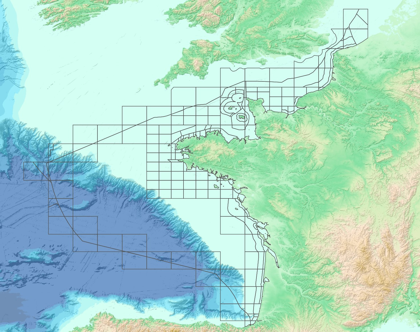
The “French sub-rectangles of the ICES fishery statistical rectangles” product contains 2D areas vector objects representing a sub-rectangle division of ICES statistical rectangles. Each product polygon belongs to an unique ICES rectangle. This subdivision enables distinction between overlapping areas in two or more EEZs, areas of functional interest and areas of regulatory interest.