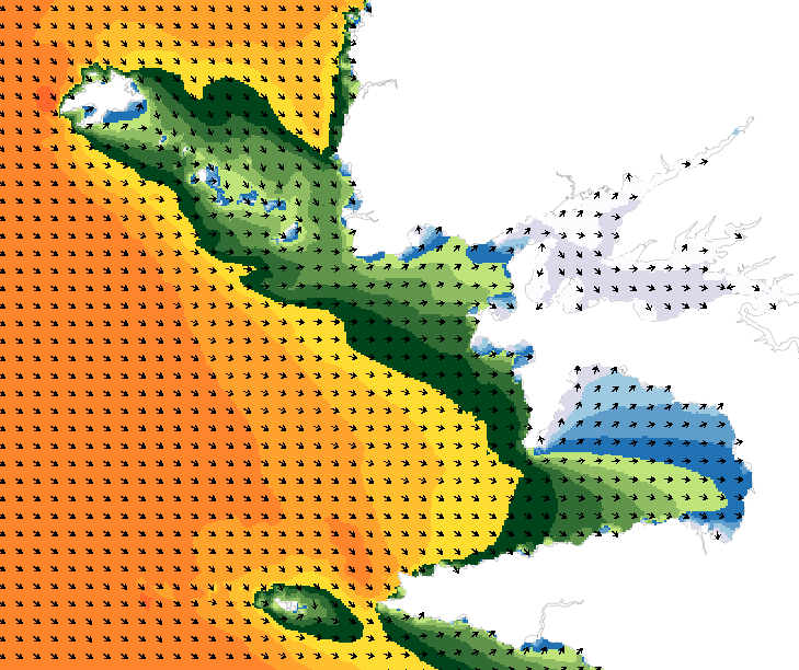
wave model for representing sea conditions
Wave forecasting models allow the representation of sea states based on a spectral resolution at the global scale or at the scale of ocean basins. This code calculates the evolution of the sea state by decomposing it into a wave spectrum that propagates in different directions and with different periods. During the propagation, the wave energy is increased or decreased by the effects of wind, breaking waves and energy exchanges between the different components.
The wave forecasts available on data.shom.fr are calculated with 2 different types of models: MFWAM for the offshore domain (resolution from 0.5° to 0.1°) and Wavewatch III ® (WW3) for the coastal domain (resolution from 2' to 200m).
MFWAM is a sea state forecasting model (wind wave and swell) derived from the third generation WAM code (WAMDI Group, 1988).
Wavewatch III ® (WW3) is developed in a collaboration between the United States Weather Service (NOAA/NCEP), Shom, the University of Darmstadt in Germany, and other partners. The forecasts published on data.shom.fr are issued from the parameterization carried out and optimized by the Shom and Météo-France within the framework of the Homonim project (national coastal flood/wave/storm warning system).
|
|
Citation proposal
(2017) . wave model for representing sea conditions. https://services.data.shom.fr:/geonetwork/imports/api/records/OCEANO_MODELE_VAGUES.xml |
Simple
- Date ( Publication )
- 2017-02-21
- Identifier
- Credit
-
Shom et Météo-France
Point of contact
- Maintenance and update frequency
- Daily
- Update scope
- Dataset
- Keywords ( Theme )
-
-
model
-
oceanography
-
wave
-
product
-
open data
-
- GEMET - INSPIRE themes, version 1.0 ( Theme )
- INSPIRE Spatial scope
- Use limitation
-
Data free of use by acknowledging its source. Open licence Etalab v. 2.0 avril 2017.
- Use limitation
-
Data free of use by acknowledging its source. Open licence Etalab v. 2.0 avril 2017.
- Access constraints
- License
- Use constraints
- Other restrictions
- Other constraints
- Licence Ouverte version 2.0 Open Licence version 2.0
- Access constraints
- Other restrictions
- Other constraints
- Pas de restriction d'accès public. No public access restriction.
- Classification
- Unclassified
- Spatial representation type
- Grid
- Metadata language
- French
- Character set
- UTF8
- Topic category
-
- Oceans
))
- Supplemental Information
-
The size of the model domains considered often requires the use of relatively loose meshes (generally from 1° to 0.25°) in order to keep acceptable the computation time. A succession of nested models allows to reach finer resolutions, from the global scale to the regional scale (a few kilometers) and the local scale (a few hundred meters). Another technique to reach high resolutions at the coast while avoiding model nesting is the use of unstructured grids.
The models are regularly compared with observations made by the in-situ wave buoy networks (Cerema).
- Distribution format
-
-
NetCDF
(4
)
-
Point of contact
- OnLine resource
- Portail d'information géographique du Shom
- OnLine resource
- Access point / WMS
- Hierarchy level
- Series
Conformance result
- Date ( Publication )
- 2010-11-23
- Explanation
-
Information sur la conformité au règlement d'interopérabilité des séries et des services de données géographiques.
- Pass
- true
Conformance result
- Date ( Publication )
- 2013-12-10
- Explanation
-
Information sur la conformité de la ressource à une spécification (INSPIRE).
- Pass
- true
- Statement
-
The sea state model outputs available on data.shom.fr provide, for each run, a forecasts from day D to day D+2/D+3/D+4, depending on the configuration.
At the global and regional scales, forecasts are produced by Météo-France’s global MFWAM model (GLOB01, 0.1° resolution), forced by the ARPEGE meteorological model from Météo-France. To optimize visualization, spatial downsampling is applied based on GLOB01 configuration:
- GLOB05: MFWAM model, global 0.5° resolution grid;
- EURAT01: MFWAM model, European 0.1° resolution grid;
- ANGUY01: MFWAM model, 0.1° resolution grid for Antilles-Guyane area;
- MASCA01: MFWAM model, 0.1° resolution grid for Indian Ocean area.
At coastal scales, sea state forecasts are produced using the Wavewatch III ®model (configurations developed by Shom in partnership with Météo-France):
- NORGAS-UG, MENOR-UG, ANGUY-CG and INDIEN-UG: unstructured grid from the WW3 model, with a resolution ranging from 10km offshore to 200m at the coast. On data.shom.fr, these irregular grids are reprojected onto regular grids with different resolutions: 2', 500m and 200m. The closer to the coast the area is, the more refined the resolution is (for example: NORGAS-2MIN -> MANCHE-NORD-500M -> NORMANDIE-200M). For metropolitan France, WW3 is forced by the Météo-France ARPEGE weather model; in the Antilles-Guyane and the Réunion-Mayotte areas WW3 is forced by the Météo-France AROME Outre-Mer model.
Metadata
- File identifier
- OCEANO_MODELE_VAGUES.xml XML
- Metadata language
- French
- Character set
- UTF8
- Hierarchy level
- Series
- Hierarchy level name
-
Collection de données
- Date stamp
- 2025-12-16T14:00:00
- Metadata standard name
-
ISO 19115:2003/19139
- Metadata standard version
-
1.0
Point of contact
Overviews
Provided by