 Catalogue Shom
Histolitt® Coastline
The Histolitt® coastline corresponds to the high tide line with an astronomic tidal coefficient of 120 and in normal weather conditions (no sea breeze and no low pressure systems likely to raise sea level). The Histolitt® coastline models this theoretical input as a series of 2D polylines. In mainland France, it is recommended to use the land-sea limit product which replaces this Histolitt® coastline. There is no land-sea limit in the French overseas areas for the moment.
|
|
Citation proposal
Shom (2021) . Histolitt® Coastline. https://services.data.shom.fr:/geonetwork/srv/api/records/BDML_TCH.xml |
INSPIRE
Identification
- File identifier
- BDML_TCH.xml XML
- Hierarchy level
- Dataset
Online resource
- Protocol
-
WWW:LINK-1.0-http--link
- Protocol
-
WWW:LINK-1.0-http--link
- Protocol
-
WWW:LINK-1.0-http--link
- Protocol
-
WWW:LINK-1.0-http--link
- Protocol
-
WWW:LINK-1.0-http--link
- Protocol
-
WWW:LINK-1.0-http--link
- Protocol
-
WWW:LINK-1.0-http--link
- Protocol
-
WWW:LINK-1.0-http--link
- Protocol
-
OGC:WMS
- Protocol
-
OGC:WFS
Resource identifier
- Metadata language
- fre French
- Spatial representation type
- Vector
Encoding
- Format
-
SHP
- Version
-
inapplicable
- Format
-
GML
- Version
-
3.2
- Specification
-
-
Projection
- code
-
RGF93 (EPSG:4171)
- code
-
RGF93 / Lambert-93 (EPSG:2154)
- code
-
WGS 84 / UTM zone 20N (EPSG:32620)
- code
-
RGFG95 / UTM zone 22N (EPSG:2972)
- code
-
WGS 84 / UTM zone 38S (EPSG:32738)
- code
-
RGR92 / UTM zone 40S (EPSG:2975)
- code
-
WGS 84 / UTM zone 21N (EPSG:32621)
Classification of data and services
- Topic category
-
- Elevation
Classification of data and services
Coupled resource
Coupled resource
Classification of data and services
Coupled resource
Coupled resource
Keywords
- GEMET - INSPIRE themes, version 1.0 ( Theme )
- INSPIRE Spatial scope
Other keywords
- Keywords ( Theme )
-
-
shore line
-
littoral
-
Histolitt
-
coastline
-
product
-
open data
-
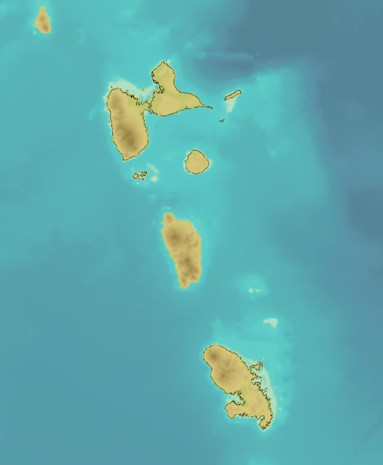
Geographic coverage
))
))
))
))
))
))
))
Temporal reference
Temporal extent
Temporal extent
- Date ( Creation )
- 2007-04-14
- Date ( Publication )
- 2010-01-01
- Date ( Publication )
- 2021-10-15
Quality and validity
- Lineage
-
The Histolitt® coastline solution comprises information from:
- information obtained from TC25000. TC25000 was digitalised by an operator from Nautical Charts with a scale greater than 1/25000. 1:5,000 charts were used in some port areas. Only 1:50,000 charts are available for the Landes coastal area. The nautical charts used are taken from the Shom range for 1992. The Shom Nautical chart coast line uses:
i. Shom photograms
ii. topographical fair sheets
iii. IGN 1:25 000 maps
- BDTOPO?Country version 1.2 solution class information [line section] where the "TYPE" attribute is set to "High water". - 2D data entered on a BDORTHO? image layer. The process involves updating TC25000 using TCBDTOPO
and the BDORTHO? solution. The Histolitt® coast line is the final result. The most recent versions of the TOPO database coast line and the ORTHO? database when the production process was applied were used.
The topology was constructed during this process: the Histolitt® coast line is continuous, but broken down into several polylines at key points on the coast line. Islands shown as a surface object are closed polylines. Identical attribute sections are merged.
This production process was applied from 15 September 2006 to 14 April 2007.
- Denominator
- 15000
Conformity
Conformity
Conformity
Conformity
Conformity
Conformity
- Explanation
-
Information sur la conformité de la ressource à une spécification (INSPIRE).NON EVALUE
- Explanation
-
Information sur la conformité au règlement d'interopérabilité des séries et des services de données géographiques.
Restrictions on access and use
- Use limitation
-
Do not use for navigation
- Use limitation
-
The product is not designed for use at scales of more than 1:15 000.
- Use limitation
-
The High Resolution Coastline file can be freely used in the integrated databases or services, under the following conditions:
- explicit mention of the source by indicating "©IGN-Shom 2009" when displayed,
- clear indication to the user of any restrictions which apply to data,
- website references must show the Shom and IGNF logo and a link to their website www.shom.fr www.ign.fr.
- Use limitation
-
The Histolitt® coastline was not designed for use in the operation of nuclear facilities, air navigation or communications systems, navigation or air traffic control systems, or any other area referred to as "hazardous activities", where a failure of the product could result in death, personal injury or serious physical or environmental damage. In general, the precision is decametric in planimetry. In some particular areas (especially flat areas), the accuracy can be of the order of several tens of meters. Precision specifications, from which the limits of use must be deduced according to the rules of the art specific to each use, can be found in the document "Technical specifications of the Histolitt shoreline product".
- Access constraints
-
The High Resolution Coastline file can be freely used in the integrated databases or services, under the following conditions:
- explicit mention of the source by indicating "©IGN-Shom 2009" when displayed,
- clear indication to the user of any restrictions which apply to data,
- website references must show the Shom and IGNF logo and a link to their website www.shom.fr www.ign.fr.
- Access constraints
- Pas de restriction d'accès public. No public access restrictions.
Restrictions on access and use
Responsible organization (s)
Contact for the resource
- Organisation name
-
Shom
- Organisation name
-
Institut Géographique National (IGN)
Responsible organization (s)
Contact for the resource
- Organisation name
-
Shom
- Organisation name
-
Institut Géographique National (IGN)
Metadata information
Contact for the metadata
- Organisation name
-
Shom
-
data-support@shom.fr support@shom.fr
- Date stamp
- 2021-10-15T15:18:47
- Metadata language
- fre French
- Character set
- utf8 UTF8
SDS
Conformance class 1: invocable
Access Point URL
Endpoint URL
Technical specification
Conformance class 2: interoperable
Coordinate reference system
Quality of Service
Access constraints
Limitation
Use constraints
Limitation
Responsible custodian
Contact for the resource
Conformance class 3: harmonized
Overviews
Provided by
