 Catalogue Shom
elevation
Type of resources
Available actions
Topics
Keywords
Provided by
Years
Formats
Representation types
Update frequencies
status
Scale
Resolution
-

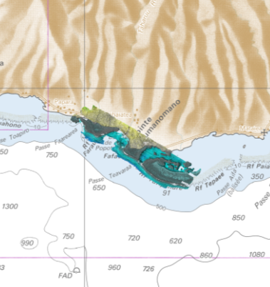
The coastal topo-bathymetric DEM of Tahiti with a resolution of 0.0002° (~ 20 m) was produced by the Shom for Météo-France (Inter-regional Direction in French Polynesia). This DEM covers the Tahiti lagoons down to the 100 m isobath, in order to meet the need for modeling marine submersions in French Polynesia. It complements the bathymetric DEM of Tahiti and Moorea, with a resolution of 0.001° (~ 100 m). This product is available at different vertical references, either the lowest astronomical tide (LAT) or the mean sea level (MSL).
-
Litto3D is a unique and continuous land-sea database which can provide 3D models of the shape and location of French coastal terrain. A line separates sea and land data acquisition zones, and the associated survey readings obtained using bathymetric lidar technologies or multibeam echosounders for sea readings and airborne lidar topographical surveys for land readings, with 300 m overlap. Litto3D digital models are available in two formats: a set of 3D points and a qualified terrain mesh.
-

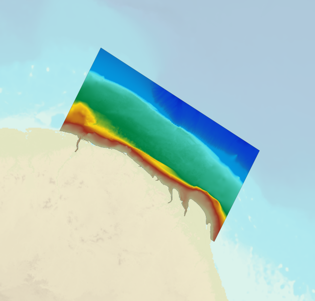
The coastal topo-bathymetric DTM of the Arcachon basin and its surroundings at a resolution of 0.0002° (~ 20 m) was produced as part of the HOMONIM project. The DTM covers the coastline of a part of the Gironde department, from the Carcans and Hourtin ponds in the North, to the Cazaux and Sanguinet lakes in the South. It covers the entire Arcachon basin and extends offshore to about 40 m depth. The DTM is intended to be implemented in hydrodynamic models in order to produce accurate forecasts of water heights and sea states at the coast and to improve the French storm surge warning system. This product is available with the Lowest Astronomic Tide (LAT) or with the Mean Sea Level (MSL) as a vertical datum.
-

Lidar marine part is a unique and continuous land-sea database which can provide 3D models of the shape and location of French coastal terrain. A line separates sea and land data acquisition zones, and the associated survey readings obtained using bathymetric lidar technologies or multibeam echosounders for sea readings and airborne lidar topographical surveys for land readings, with 300 m overlap. Litto3D digital models are available in two formats: a set of 3D points and a qualified terrain mesh.
-
The high resolution Coastline corresponds to the Highest Astronomical Tide (HAT) with a tidal coefficient of 120 and in normal weather conditions (no sea breeze and mean atmospheric pressure of 1013 hPa).
-

This data layer contains the current status of hydrographic knowledge expressed in terms of CATZOC (category of zone of confidence, cf. https://iho.int/uploads/user/pubs/standards/S-67/S-67%20Ed%201.0.0%20Mariners%20Guide%20to%20Accuracy%20of%20Depth%20Information%20in%20an%20ENC_EN.pdf), as well as the target defined by the national hydrography program.
-
The bathymetric DEM for the coasts of French Guiana with a resolution of 0.001° (~ 100 m) was prepared as part of the HOMONIM project. The DEM covers the entire Guyanese coast and part of Surinam to the west and Brazil to the east. Off-shore, the DEM covers the continental shelf and part of the slope. The DEM is designed to be used in hydrodynamic models in order to produce high-precision forecasts for coastal water levels and sea conditions and therefore improve the pertinence of the Waves-Submersion monitoring programme. This product is available with the Lowest Astronomic Tide (LAT) or the Mean Sea Level (MSL) as a vertical datum.
-

The bathymetric DEM of Tahiti and Moorea with a resolution of 0.001° (~ 100 m) was produced by the Shom for Météo-France (Inter-regional Direction in French Polynesia). This DEM covers a 10 km radius around the islands of Tahiti and Moorea in order to meet the need for marine submersions modelling in French Polynesia. This product is available at different vertical references, either the lowest astronomical tide (LAT) or the mean sea level (MSL).
-
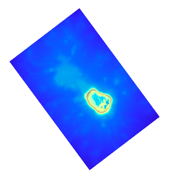
The coastal topo-bathymetric DEM was produced using the bathymetric and topographic data acquired between 2012 and 2015 by Shom and the PASSION programme team. The 20 m coastal grid covers the Passion atoll – Clipperton and the local flanks of the atoll to a depth of 1500 m. Passion island - Clipperton, in the eastern Pacific Ocean, is a remote uninhabited atoll over 5,000 km from Tahiti in French Polynesia and over 1,000 km from the Mexican coasts. Passion island is the highest point on the Clipperton ridge, and the only location above water level. This is the only coral atoll in the eastern Pacific in the northern hemisphere, at a longitude of W 109° and a latitude of N 10°.
-
Lidar marine part is a unique and continuous land-sea database which can provide 3D models of the shape and location of French coastal terrain. A line separates sea and land data acquisition zones, and the associated survey readings obtained using bathymetric lidar technologies or multibeam echosounders for sea readings and airborne lidar topographical surveys for land readings, with 300 m overlap. Litto3D digital models are available in two formats: a set of 3D points and a qualified terrain mesh. The product Taharuu 2015 V. 20160630 corresponds to the zone: Mouth of Taharuu.