 Catalogue Shom
20000
Type of resources
Available actions
Topics
Keywords
Provided by
Years
Formats
Representation types
Update frequencies
status
Scale
-
Seamless Shom nautical charts - West Africa is a product composed of digital images taken from Shom nautical charts, with no additions, legends or georeferencing information. At a given scale, it is possible to view only the maps with a scale that allows a correct display. The footprint of all the maps composing this product are shown. Unless exceptional circumstances apply, this product is updated on a monthly basis and the modified grid squares are re-published, replacing the previous versions. All corrections, publications and editions with an effect on the reference nautical charts are taken into consideration.
-
Seamless Shom nautical charts - West Africa - EAtHC is a product composed of digital images taken from Shom nautical charts, with no additions, legends or georeferencing information. At a given scale, it is possible to view only the maps with a scale that allows a correct display. The footprint of all the maps composing this product are shown. Unless exceptional circumstances apply, this product is updated on a monthly basis and the modified grid squares are re-published, replacing the previous versions. All corrections, publications and editions with an effect on the reference nautical charts are taken into consideration.
-
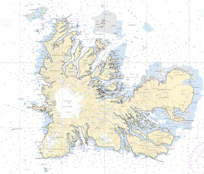
The high resolution Coastline corresponds to the Highest Astronomical Tide (HAT) with a tidal coefficient of 120 and in normal weather conditions (no sea breeze and mean atmospheric pressure of 1013 hPa). The high resolution coastline is available in french subantarctic islands (984).
-
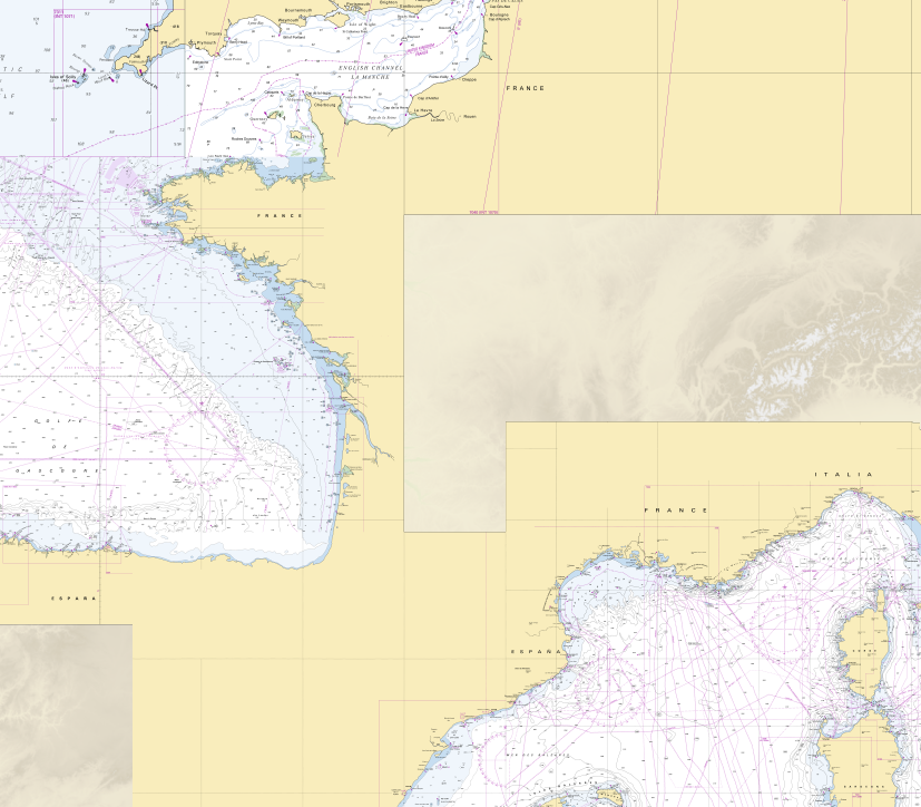
RasterMarine is a series of digital images taken from nautical charts, with no additions, legends or georeferencing information. The RasterMarine range is available at five sets of scales: - RasterMarine 20 1: 20,000 - RasterMarine 50 1: 50,000 - RasterMarine 150 1: 150,000 - RasterMarine 400 1: 400,000 - RasterMarine 1M 1: 1,000,000. Unless exceptional circumstances apply, the RasterMarine range is updated on a weekly basis and the modified grid squares are re-published, replacing the previous versions. All corrections, publications and editions with an effect on the reference nautical charts are taken into consideration. <br /> 27/11/2025 version <br />
-
The high resolution Coastline corresponds to the Highest Astronomical Tide (HAT) with a tidal coefficient of 120 and in normal weather conditions (no sea breeze and mean atmospheric pressure of 1013 hPa).
-
Image numérique scannée non géoréférencée de la 3607 Date d'édition : 1886 Date de publication : 1878 Support de l'original: papier Dimensions : 552mm x 740mm Description : Croquis levé en 1867 par M.M. Laborde et Milland, enseignes de vaisseau. Le contour de l'île et la topographie ont été empruntée à un travail de M. le lieutenant de vaisseau Caillet fait en 1868. Le méridien doit être incliné de 8° vers le N.O. ainsi que l'indique la ligne en traits longs.
-
Les produits RasterMarine se composent d'images numériques issues des cartes marines, sans habillage, ni légende, ni indications de géoréférencement. Les produits RasterMarine se déclinent en cinq gammes d'échelles : - RasterMarine20 1: 20 000 ; - RasterMarine50 1: 50 000 ; - RasterMarine150 1: 150 000 ; - RasterMarine400 1: 400 000 ; - RasterMarine1M 1: 1 000 000.
-
Image numérique scannée non géoréférencée de la 2719 Date de publication : 1868 Date de révision : 1985 Support de l'original: papier Dimensions : 800mm x 535mm Description : Levé en 1866 d'après les ordres de M. le Gouverneur Guillain, par M. A. A. Banarré, lieutenant de vaisseau commandant la goëlette La Fine. Publié par ordre de l'Empereur, sous le Ministère de son Excellence M. l'Amiral Rigault de Genouilly, sénateur, Secrétaire d'Etat au département de la Marine et des Colonies.
-
Image numérique scannée non géoréférencée de la Recherches de roches 010_3_180 Date de création : 1966 Support de l'original: Dimensions : 761mm x 1053mm
-
Image numérique scannée non géoréférencée de la Définitive 035_I_0734 Date de création : 1953 Support de l'original: Dimensions : 1150mm x 758mm