 Catalogue Shom
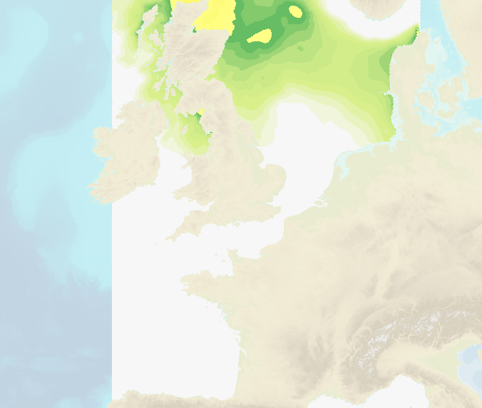
HYCOM 2D modele of evolution of water level and surge
The Shom uses a 2D barotropic version of the HYCOM code ( https://hycom.org/) to compute water level /surge forecasts (astronomical tides and meteorological surges) for the Atlantic, Mediterranean, Antilles-Guyane and Indian Ocean domains. The configurations use curvilinear grid with resolutions of several km offshore and ranging from 1.5km to around 500m on the french mainland coasts and the Antilles-Guyana coast. A downscaling by nesting allows a resolution of 800m to 200m over the Indian domain.
These models have been adapted by the Shom to be operable in coastal areas by taking into account, in particular, the tide and high resolution bathymetry in these areas (from 100m for DTMs of facade to 20m for coastal DTMs) using Litto3D surveys by airborne LIDAR. The models are operated by Météo-France and the Shom in the framework of the HOMONIM project for the coastal flood/wave warning system.
|
|
Citation proposal
(2017) . HYCOM 2D modele of evolution of water level and surge. https://services.data.shom.fr:/geonetwork/srv/api/records/OCEANO_MODELE_NIVEAUX.xml |
Simple
- Date ( Publication )
- 2017-02-21
- Edition
- Identifier
- Purpose
-
Shom have conducted devellopments (revision of temporal numerical schemes, the free surface consideration, boundary conditions, bottom friction, management of uncovered sand banks,...) in order to make the HYCOM2D model particularly adapted to represent the tide and storm surges at the coast.
- Credit
-
Shom et Météo-France
Point of contact
- Maintenance and update frequency
- Daily
- Update scope
- Dataset
- Keywords ( Theme )
-
-
model
-
oceanography
-
tide
-
surge
-
water level
-
wave/coastal flood vigilance
-
products
-
open data
-
- GEMET - INSPIRE themes, version 1.0 ( Theme )
- INSPIRE Spatial scope
- High-value dataset categories
- Use limitation
-
forecasts released under the Open License version 2.0 of April 2017, defined by the Etalab mission.
- Use limitation
-
free use allowed on condition that the source is acknowledged and the last udate date is given.
- Use limitation
-
HYCOM 2D water level/surge forecasts released under the Open License version 2.0 of April 2017, defined by the Etalab mission.
- Access constraints
- License
- Use constraints
- Other restrictions
- Other constraints
-
Open License version 2.0 of April 2017, defined by the Etalab mission.
- Access constraints
- Other restrictions
- Other constraints
- Pas de restriction d'accès public. No public access restriction.
- Classification
- Unclassified
- Spatial representation type
- Grid
- Metadata language
- fre French
- Character set
- utf8 UTF8
- Topic category
-
- Oceans
))
))
))
- Distribution format
-
-
NetCDF
(3
)
-
Point of contact
- OnLine resource
- Portail d'information géographique du Shom
- OnLine resource
- Access point / WMS
- Hierarchy level
- Series
Conformance result
- Date ( Publication )
- 2010-11-23
- Explanation
-
Information sur la conformité au règlement d'interopérabilité des séries et des services de données géographiques.
- Pass
- true
Conformance result
- Date ( Publication )
- 2013-12-10
- Explanation
-
Information sur la conformité de la ressource à une spécification (INSPIRE).
- Pass
- true
- Statement
-
Water level/surge forecasts are daily updated in metropolitain France (1h steps until D+3 (23h00UTC), and updated twice a day in overseas territories (1h steps until D+2).
The meteorological conditions are forced by the Météo-France models (ARPEGE model, EURAT01 grid ; AROME models, ANTIL0025, GUYANE0025, INDIAN0025 grids) and CEP-IFS model (GLOB0125 grid) from ECMWF for overseas locations;
The open boundary forcing consists on: NEA tidal atlas and LEGOS FES depending on the configuration considered
gmd:MD_Metadata
- File identifier
- OCEANO_MODELE_NIVEAUX.xml XML
- Metadata language
- French
- Character set
- UTF8
- Hierarchy level
- Series
- Hierarchy level name
-
Collection de données
- Date stamp
- 2014-07-25T14:56:54
- Metadata standard name
-
ISO 19115:2003/19139
- Metadata standard version
-
1.0
Point of contact
Overviews
Provided by
