Catalogue Shom
Vector-based data (S-57 format) of nautical charts
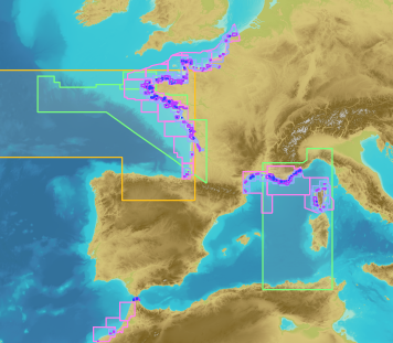
These maps are prepared on the basis of vector-based mapping data (IHO S-57 format) including the detailed description of each object (beacons, wrecks, submarine cables, regulated zones, survey systems, etc.). These maps are the digital equivalent of printed nautical charts.
|
|
Citation proposal
. Vector-based data (S-57 format) of nautical charts. https://services.data.shom.fr:/geonetwork/WS/api/records/CARTO_S57.xml |
Simple
- Date ( Revision )
- 2014-04-11
- Identifier
Point of contact
- Keywords ( Theme )
-
-
s57
-
enc
-
nautical chart
-
Product
-
- Use limitation
-
Fees apply to user rights for this data. A specific contract must be signed for the commercial re-use of data.
- Use limitation
-
Fees apply to user rights for this data. A specific contract must be signed for the commercial re-use of data.
- Access constraints
- Restricted
- Use constraints
- Restricted
- Other constraints
-
Decree No. 2016-1617 of 29 November 2016 on the categories of public information of the State and its public administrative institutions liable to be subject to the payment of a reuse fee (Art D. 324-5-1 ).
- Classification
- Unclassified
- Spatial representation type
- Vector
- Metadata language
- fre French
- Metadata language
- eng English
- Character set
- utf8 UTF8
- Topic category
-
- Oceans
))
- Reference system identifier
-
EPSG
/WGS 84 (EPSG:4326)
/7.4
- Hierarchy level
- Series
- Statement
-
S-57 format digital maps are more than a simple photocopy of the printed maps (like raster maps), they represent a database containing a detailed description of each object (beacon, wreck, survey system, fire area, regulated zones, etc.). Users can sequence map data and use smart access functions depending on the type of navigation and zone, while reducing volume (approx. 1 Mb for one map).
Maps are assigned to 6 categories depending on scale:
Cat. 1: Overview < 1: 1,500,000
Cat. 2: General 1: 350,000 - 1: 1,500,000
Cat. 3: Coastal 1: 90,000 - 1: 350,000
Cat. 4: Approaches 1: 22,000 - 1: 90,000
Cat. 5: Port 1: 4,000 - 1: 22,000
Cat. 6: Mooring > 1: 4,000
The map's category is indicated in its identifier: the category is the first figure after the two letters for the country.
Unlike printed maps, which exist for a given geographic scope and scale, one single digital map can cover the full range.
gmd:MD_Metadata
- File identifier
- CARTO_S57.xml XML
- Metadata language
- fre French
- Character set
- UTF8
- Hierarchy level
- Series
- Hierarchy level name
-
Produit
- Date stamp
- 2013-02-26T12:15:05
- Metadata standard name
-
ISO 19115:2003/19139
- Metadata standard version
-
1.0
Point of contact
Overviews
Provided by