irregular
Type of resources
Available actions
Topics
Keywords
Provided by
Years
Formats
Representation types
Update frequencies
status
Scale
Resolution
-
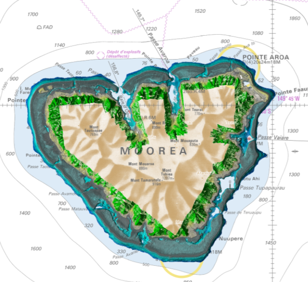
The Tidal stream atlas netcdf product – Northern Brittany provides tidal current data for an area stretching from Tregastel at the east of the area to Porsguen at the west. The product consists of two gridded files with different spatial resolutions covering the Northern Brittany area (overall view at 500 m) and the geographical area of the port of Roscoff (250 m). The U and V velocities of the tidal currents depend on the tidal conditions considered at mean neap and spring tidal rates. The data are provided in m/s for the surface layer. The times are given in relation to high tide at the reference port chosen in the area and are provided from 6 hours before to 6 hours after that reference.
-
<em>Surface current predictions computed from statistical values obtained from the IROISE 3D 2011 Telemac hydrodynamic model gridded with a regular 30m spatial resolution.</em><br /> <br /> This service offers a visualization of surface current predictions computed from statistical values obtained from a high resolution hydrodynamic simulation at mean Neap and Spring corresponding to a tide coefficient of respectively 45 and 95. Those statistics are then interpolated/extrapolated every 15 minutes (cubic spline), and for each tide coefficient from 20 to 120 (linear). The statistical currents, initially referenced to Brest high tide, are then referenced to the hour requested by the user using the tide prediction service <a href="http://maree.shom.fr" target="_blank">http://maree.shom.fr</a>. This service was built by Shom and funded by French CCI Métropolitaine Bretagne Ouest (<a href="https://www.bretagne-ouest.cci.bzh/" target="_blank">CCIMBO</a>) in the frame of the <a href="https://www.atlanticblueports.com" target="_blank">Atlantic Blue Port</a> project of <a href="http://www.atlanticarea.eu" target="_blank">Interreg Atlantic Area</a> european program.<br />
-
<em>Surface current predictions computed from statistical values obtained from the IROISE 3D 2011 Telemac hydrodynamic model gridded with a regular 250m spatial resolution.</em><br /> <br /> This service offers a visualization of surface current predictions computed from statistical values obtained from a high resolution hydrodynamic simulation at mean Neap and Spring corresponding to a tide coefficient of respectively 45 and 95. Those statistics are then interpolated/extrapolated every 15 minutes (cubic spline), and for each tide coefficient from 20 to 120 (linear). The statistical currents, initially referenced to Brest high tide, are then referenced to the hour requested by the user using the tide prediction service <a href="http://maree.shom.fr" target="_blank">http://maree.shom.fr</a>. This service was built by Shom and funded by French CCI Métropolitaine Bretagne Ouest (<a href="https://www.bretagne-ouest.cci.bzh/" target="_blank">CCIMBO</a>) in the frame of the <a href="https://www.atlanticblueports.com" target="_blank">Atlantic Blue Port</a> project of <a href="http://www.atlanticarea.eu" target="_blank">Interreg Atlantic Area</a> european program.<br />
-
<em>Surface current predictions computed from statistical values obtained from the IROISE 3D 2011 Telemac hydrodynamic model gridded with a regular 500m spatial resolution.</em><br /> <br /> This service offers a visualization of surface current predictions computed from statistical values obtained from a high resolution hydrodynamic simulation at mean Neap and Spring corresponding to a tide coefficient of respectively 45 and 95. Those statistics are then interpolated/extrapolated every 15 minutes (cubic spline), and for each tide coefficient from 20 to 120 (linear). The statistical currents, initially referenced to Brest high tide, are then referenced to the hour requested by the user using the tide prediction service <a href="http://maree.shom.fr" target="_blank">http://maree.shom.fr</a>. This service was built by Shom and funded by French CCI Métropolitaine Bretagne Ouest (<a href="https://www.bretagne-ouest.cci.bzh/" target="_blank">CCIMBO</a>) in the frame of the <a href="https://www.atlanticblueports.com" target="_blank">Atlantic Blue Port</a> project of <a href="http://www.atlanticarea.eu" target="_blank">Interreg Atlantic Area</a> european program.<br />
-
French Ministry of Culture / DRASSM – Shom The product "Limit of preventive archeology licence fee" contains the limits for the preventive archeology licence fee (1 nautical mile) as defined in the French Heritage Code. This limit is managed by the Department of Underwater Archeological Research (DRASSM) of the Ministry of Culture. This limit, defined by the Heritage Code at 1 nautical mile from the low-water line, permits to delineate the areas where the licence fee for preventive archeology at sea is applied. In Mainland France in the Gironde estuary, the limit for the preventive archeology licence fee is stopped by the crosswise limit of the sea as defined by the decree of 26 August 1857. In French Guiana, the limit for the preventive archeology licence fee is stopped in Maroni and Oyapock rivers by the crosswise limits of the sea respectively defined the order of 30 January 1991 and the order No 863 of 26 May 1986, until meeting the land boundary which delineates the rivers with the neighbouring States. The product "Limit of preventive archeology licence fee" is to use in addition to the digital product “Maritime Limits and Boundaries” of Shom (French: “Délimitations maritimes”) which represents the limits of the French maritime spaces of sovereignty or jurisdiction through the World. The product “Maritime Limits and Boundaries” (French: “Délimitations maritimes”) can be viewed on data.shom.fr (Maritime boundaries Category) and downloaded on the French national portal of maritime limits (https://maritimelimits.gouv.fr).
-
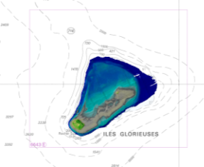
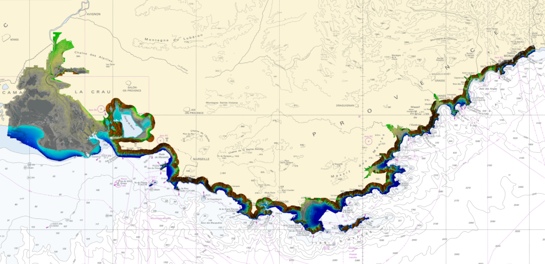
Litto3D Marine Part is an intermediate product of the Litto3D product containing only marine data.Litto3D is a unique and continuous land-sea database which can provide 3D models of the shape and location of French coastal terrain. A line separates sea and land data acquisition zones, and the associated survey readings obtained using bathymetric lidar technologies or multibeam echosounders for sea readings and airborne lidar topographical surveys for land readings, with 300 m overlap. Litto3D digital models are available in two formats: a set of 3D points and a qualified terrain mesh.
-
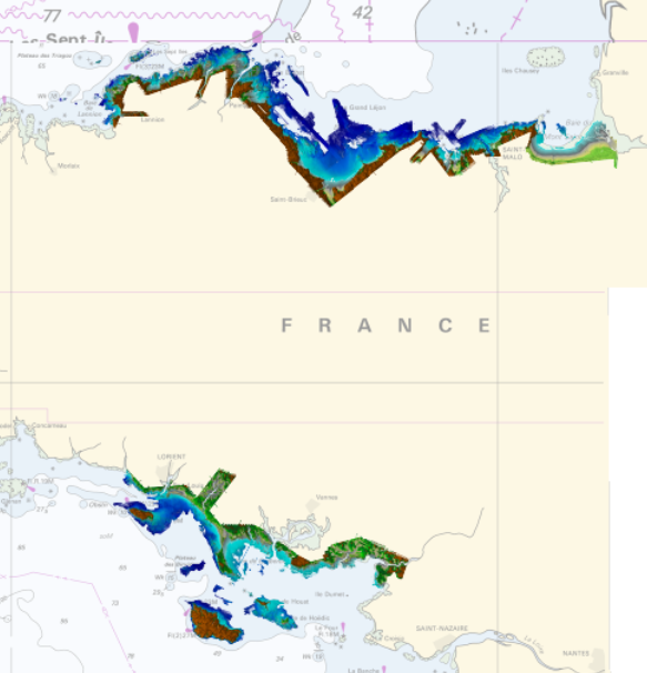
Litto3D is a unique and continuous land-sea database which can provide 3D models of the shape and location of French coastal terrain. A line separates sea and land data acquisition zones, and the associated survey readings obtained using bathymetric lidar technologies or multibeam echosounders for sea readings and airborne lidar topographical surveys for land readings, with 300 m overlap. Litto3D digital models are available in two formats: a set of 3D points and a qualified terrain mesh.
-
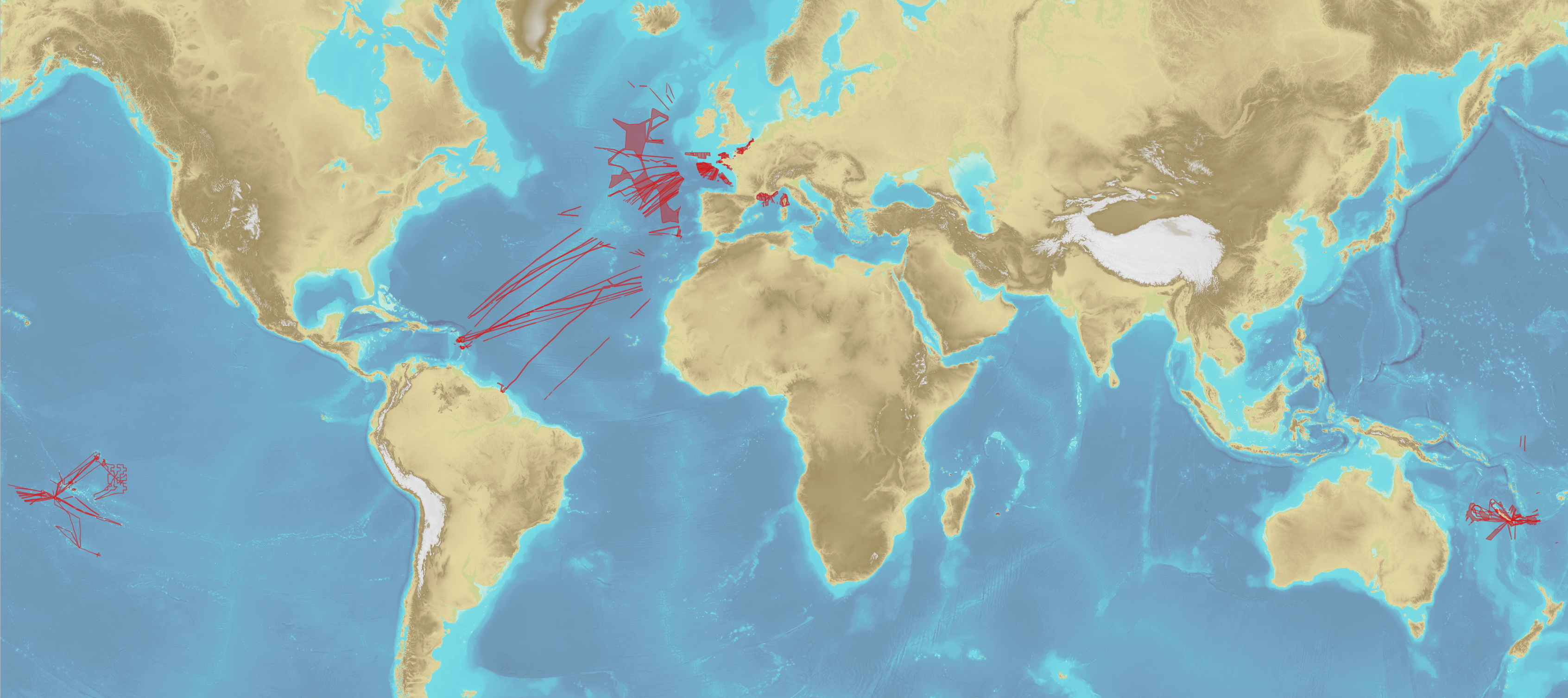
Litto3D marine part is a unique and continuous land-sea database which can provide 3D models of the shape and location of french coastal terrain. Surveys are carried out by airborne lidar bathymetry over the sea side and airborne lidar topography over the land side up to 400m inland. Litto3D marine part digital models are available in two formats: a set of 3D points and a qualified terrain mesh.
-
The high resolution Coastline corresponds to the Highest Astronomical Tide (HAT) with a tidal coefficient of 120 and in normal weather conditions (no sea breeze and mean atmospheric pressure of 1013 hPa). The high resolution coastline is available in french subantarctic islands (984).
-
Lidar marine part is a unique and continuous land-sea database which can provide 3D models of the shape and location of French coastal terrain. A line separates sea and land data acquisition zones, and the associated survey readings obtained using bathymetric lidar technologies or multibeam echosounders for sea readings and airborne lidar topographical surveys for land readings, with 300 m overlap. Litto3D digital models are available in two formats: a set of 3D points and a qualified terrain mesh.
Catalogue Shom