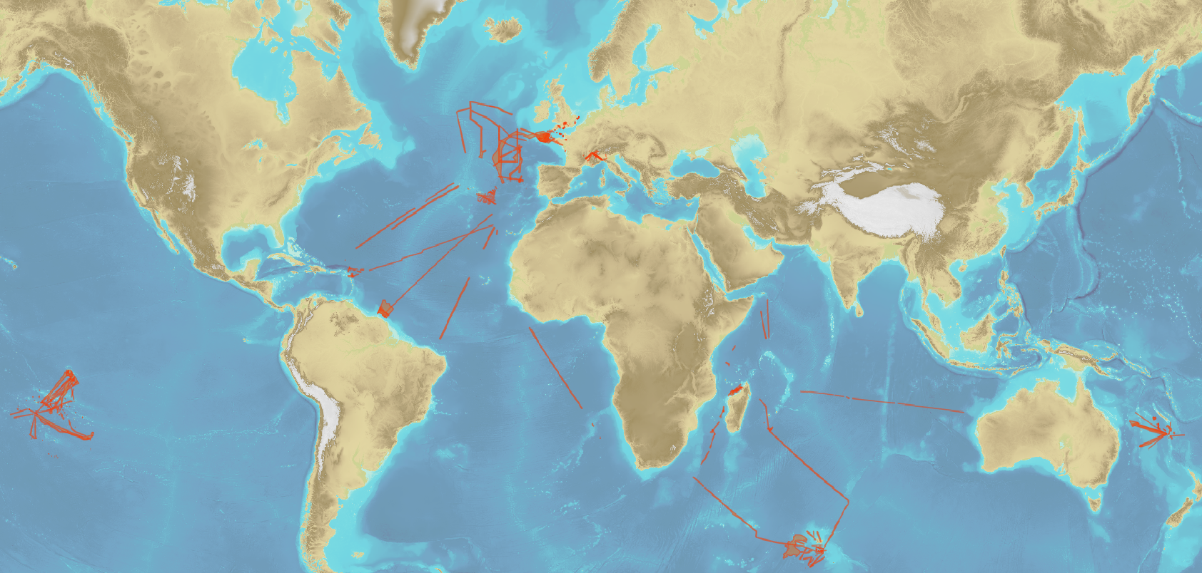
 Catalogue Shom
elevation
Type of resources
Available actions
Topics
Keywords
Provided by
Years
Formats
Representation types
Update frequencies
status
Scale
Resolution
-
Litto3D is a unique and continuous land-sea database which can provide 3D models of the shape and location of French coastal terrain. A line separates sea and land data acquisition zones, and the associated survey readings obtained using bathymetric lidar technologies or multibeam echosounders for sea readings and airborne lidar topographical surveys for land readings, with 300 m overlap. Litto3D digital models are available in two formats: a set of 3D points and a qualified terrain mesh.
-
The high resolution Coastline corresponds to the Highest Astronomical Tide (HAT) with a tidal coefficient of 120 and in normal weather conditions (no sea breeze and mean atmospheric pressure of 1013 hPa).
-
The coastal topo- bathymetric DEM for the coasts of the straight of Pas-de-Calais with a resolution of 0.0002° (~ 20 m) was prepared as part of the TANDEM project. The DEM covers the eastern Channel and southern North Sea, including the French coast of the Nord - Pas-de-Calais administrative department and part of the British coast, in the county of Kent, and the south part of the Thames estuary up to Rye. The DEM is designed to be implemented in the hydrodynamic models of the TANDEM project in order to estimate the coastal effects of tsunamis for the Atlantic and English Channel, where French nuclear power plants have been installed for about 30 years. This product is available with the Lowest Astronomic Tide (LAT) or the Mean Sea Level (MSL) as a vertical datum.
-

This data layer contains the current status of hydrographic knowledge expressed in terms of CATZOC (category of zone of confidence, cf. https://iho.int/uploads/user/pubs/standards/S-67/S-67%20Ed%201.0.0%20Mariners%20Guide%20to%20Accuracy%20of%20Depth%20Information%20in%20an%20ENC_EN.pdf), as well as the target defined by the national hydrography program.
-
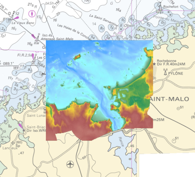
The coastal topo- bathymetric DEM of the port of Saint-Malo and its surroundings with a resolution of 0.00005° (~ 5 m) was prepared as part of the PAPI Saint-Malo. It covers the city of Saint-Malo and its surroundings, from the tip of Décollé in the west to the tip of Varde in the east. The DEM is designed to be implemented in the hydrodynamic models of the TANDEM project in order to estimate the coastal effects of tsunamis for the Atlantic and English Channel, where French nuclear power plants have been installed for about 30 years. This product is available with the Lowest Astronomic Tide (LAT) or the Mean Sea Level (MSL) as a vertical datum.
-
Bathymetric datasets, collected between 1990 and 2005, are digital data controlled and qualified. They are acquired with single-beam echosounders and the first generations of multi-beam echosounders.
-

The bathymetric DEM for the coasts of Guadeloupe and Martinique with a resolution of 0.001° (~ 100 m) was prepared as part of the HOMONIM project. The DEM covers some of the Lesser Antilles islands, from Anguilla in the north to Saba in the south. The model ranges off-shore to a depth of 3275 m. The DEM is designed to be used in hydrodynamic models in order to produce high-precision forecasts for coastal water levels and sea conditions and therefore improve the pertinence of the Waves-Submersion monitoring programme.
-
The update of the coastal topo-bathymetric DEM of the Gironde estuary - downstream with a resolution of 0.0002° (~ 20 m) was carried out in the third phase of the HOMONIM project. This DEM covers the downstream part of the Gironde estuary, from Pauillac to its mouth. It is complementary to the DEM covering the upstream estuary. The DEM is intended to be implemented in hydrodynamic models in order to produce forecasts as accurate as possible of water heights and sea states at the coast to improve the relevance of the Wave-Submergence Vigilance. The vertical reference for this product is the Lowest Astronomical Tide (LAT).
-

The coastal topo-bathymetric DEM of Tahiti with a resolution of 0.0002° (~ 20 m) was produced by the Shom for Météo-France (Inter-regional Direction in French Polynesia). This DEM covers the Tahiti lagoons down to the 100 m isobath, in order to meet the need for modeling marine submersions in French Polynesia. It complements the bathymetric DEM of Tahiti and Moorea, with a resolution of 0.001° (~ 100 m). This product is available at different vertical references, either the lowest astronomical tide (LAT) or the mean sea level (MSL).
-
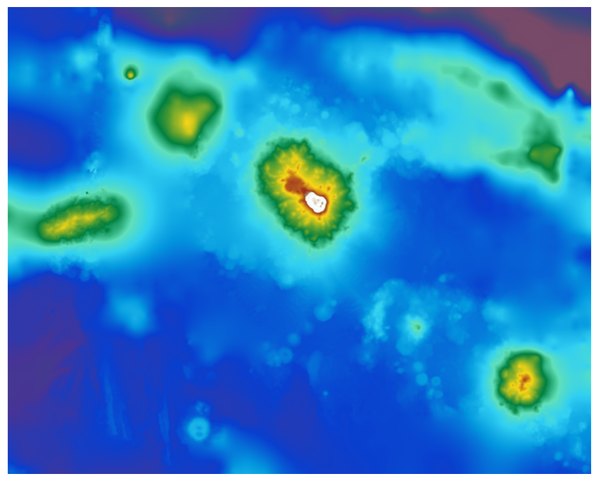
The bathymetric DEM was produced using the bathymetric and topographic data acquired between 2012 and 2015 by Shom and the PASSION programme team. The extent of the 100 m coastal grid covers an extended area around Passion Island – Clipperton, Mount Queiros, Mount Cermeno, and adjacent shallow waters. Passion island - Clipperton, in the eastern Pacific Ocean, is a remote uninhabited atoll over 5,000 km from Tahiti in French Polynesia and over 1,000 km from the Mexican coasts. Passion island is the highest point on the Clipperton ridge, and the only location above water level. This is the only coral atoll in the eastern Pacific in the northern hemisphere, at a longitude of W 109° and a latitude of N 10°.