 Catalogue Shom
2020
Type of resources
Available actions
Topics
Keywords
Contact for the resource
Provided by
Years
Formats
Representation types
Update frequencies
status
Scale
Resolution
-
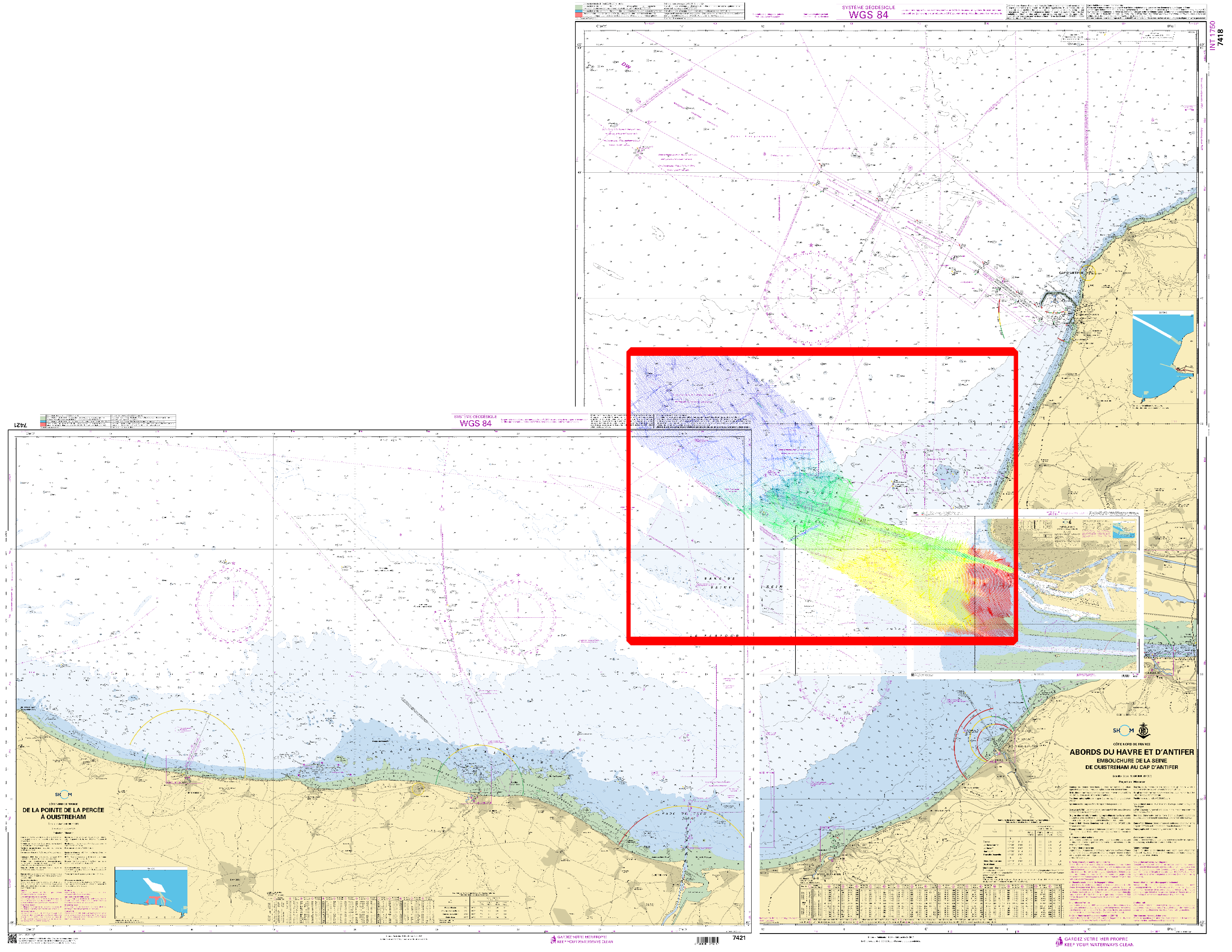
Bathymetric datasets are an extraction of surveys belonging to the Shom public database. For depth up to 50m, the vertical precision of soundings varies from 30cm to 1m and the horizontal precision varies from 1 to 20m. In deep ocean, the vertical precision is mainly around 1 or 2% of the bottom depth. It is sometimes more, it depends on the technology used. The data are referenced to ZH which is assimilated to LAT. Data are corrected for sound velocity variations. Data are acquired during the campaign S198502000 (http://dx.doi.org/10.17183/S198502000). // Instruments: Sondeur DESO 20 | Sondeur latéral // Number of soundings: 98042
-
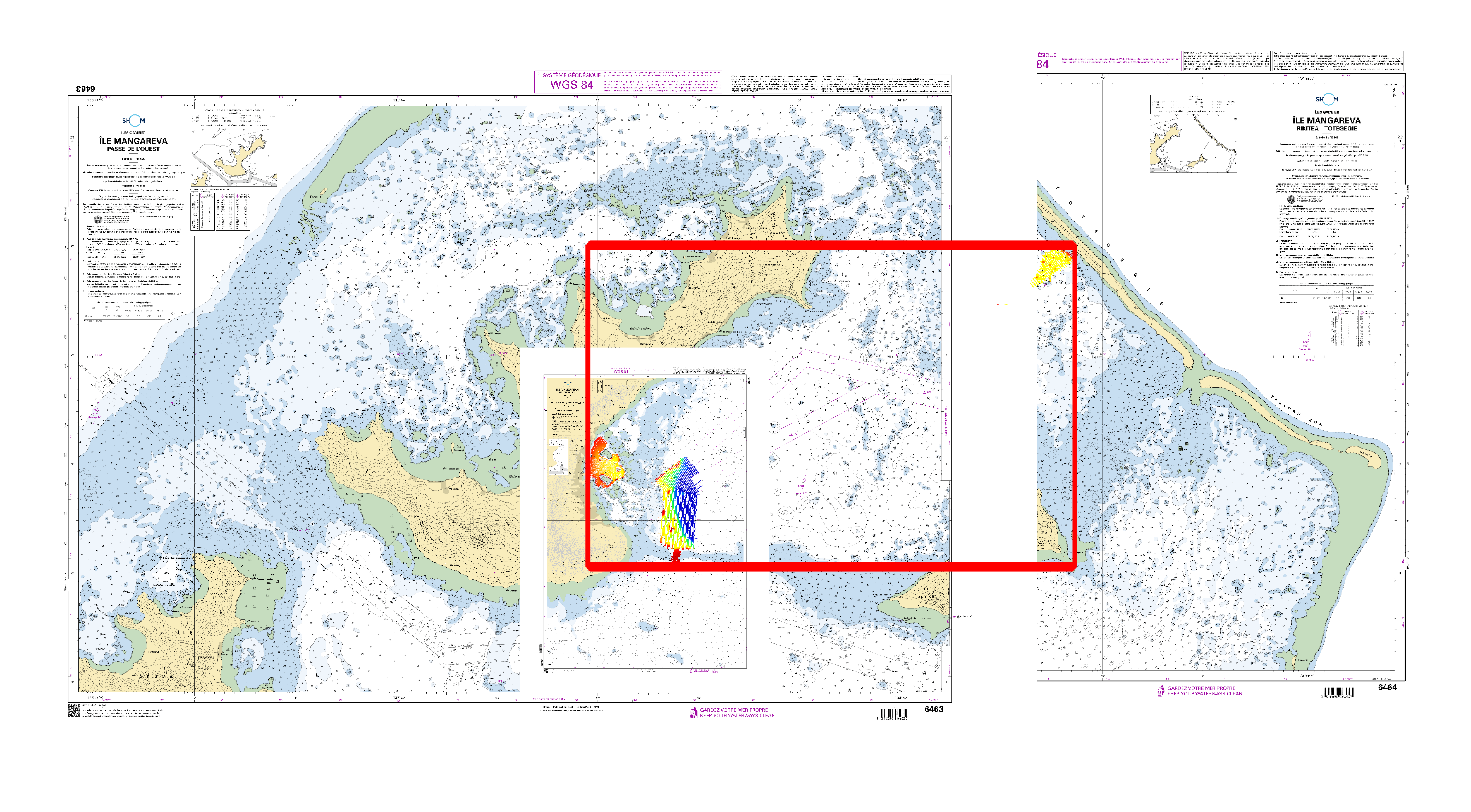
Bathymetric datasets are an extraction of surveys belonging to the Shom public database. For depth up to 50m, the vertical precision of soundings varies from 30cm to 1m and the horizontal precision varies from 1 to 20m. In deep ocean, the vertical precision is mainly around 1 or 2% of the bottom depth. It is sometimes more, it depends on the technology used. The data are referenced to ZH which is assimilated to LAT. Data are corrected for sound velocity variations. Data are acquired during the campaign S201905500 (http://dx.doi.org/10.17183/S201905500). // Instruments: Sondeur monofaisceau Simrad EA400 | Sondeur latéral C-MAX CM2 | Profondimètre // Number of soundings: 460972
-

Bathymetric datasets are an extraction of surveys belonging to the Shom public database. For depth up to 50m, the vertical precision of soundings varies from 30cm to 1m and the horizontal precision varies from 1 to 20m. In deep ocean, the vertical precision is mainly around 1 or 2% of the bottom depth. It is sometimes more, it depends on the technology used. The data are referenced to ZH which is assimilated to LAT. Data are corrected for sound velocity variations. Data are acquired during the campaign S200004800 (http://dx.doi.org/10.17183/S200004800). // Instruments: Sondeur DESO 20 | Profondimètre | Sondeur latéral // Number of soundings: 74783
-
Ces cartes sont établies sur la base de données cartographiques vectorielles (format S-57 de l'OHI) contenant la description détaillée de chaque objet (marque de balisage, épaves, câbles sous-marins, zones réglementées, sondes, etc.). Elles sont l'équivalent numérique des cartes marines papier.
-
Gareloch; Scotland - West Coast; Cartes de pilotage côtier; Édition 11 du 19/08/2020
-
Port Shepstone to Tugela River; South Africa - East Coast; Cartes d'atterrissage; Édition 2 du 12/11/2020
-
Port of Mormugao; India - West Coast; Cartes de pilotage côtier; Édition 2 du 30/01/2020
-
Java Sea; Indonesia; Cartes de traversée; Édition 7 du 16/07/2020
-
Ces cartes sont établies sur la base de données cartographiques vectorielles (format S-57 de l'OHI) contenant la description détaillée de chaque objet (marque de balisage, épaves, câbles sous-marins, zones réglementées, sondes, etc.). Elles sont l'équivalent numérique des cartes marines papier.
-
Aran Islands to Broad Haven bay; Republic of Ireland - West coast; Cartes de cabotage; Édition 3 du 19/11/2020