 Catalogue Shom
_uuid_OR_identifier
http://www.shom.fr/BATHYMETRIE/MNT_GUY100m_HOMONIM_WGS84
Type of resources
Available actions
Topics
Provided by
Years
Formats
Representation types
Update frequencies
status
Resolution
From
1
-
1
/
1
-
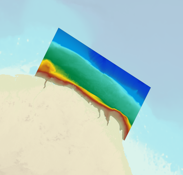
The bathymetric DEM for the coasts of French Guiana with a resolution of 0.001° (~ 100 m) was prepared as part of the HOMONIM project. The DEM covers the entire Guyanese coast and part of Surinam to the west and Brazil to the east. Off-shore, the DEM covers the continental shelf and part of the slope. The DEM is designed to be used in hydrodynamic models in order to produce high-precision forecasts for coastal water levels and sea conditions and therefore improve the pertinence of the Waves-Submersion monitoring programme. This product is available with the Lowest Astronomic Tide (LAT) or the Mean Sea Level (MSL) as a vertical datum.