 Catalogue Shom
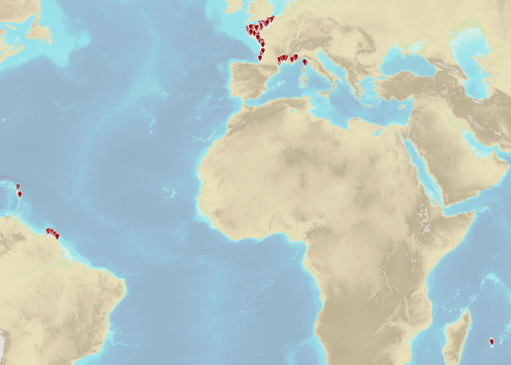
Transverse limit of the sea
Geographic information layer including the Transverse limit of the sea - mainland France, French Guiana, Martinique and Guadeloupe. This layer must be considered as an initial version to be validated locally by the competent services. Shom actively seeks out any information which could complete and improve the precision of this layer. The streams and rivers listed correspond to those mentioned in the applicable regulations and/or by a competent Government service. An inventory of existing legal and geographic information was drawn up prior to production in the form of an enquiry targeting services during the second half of 2014. The source legal text and a summary of digital conversion processes is available for each boundary proposed.Updated july 2018
|
|
Citation proposal
(2019) . Transverse limit of the sea. https://services.data.shom.fr:/geonetwork/srv/api/records/BDML_LIMITE_LTM.xml |
Simple
- Alternate title
-
LTM
- Date ( Publication )
- 2019-01-23
- Identifier
- Credit
-
©Shom
Owner
- Maintenance and update frequency
- As needed
- Keywords ( Theme )
-
-
maritime limit
-
transverse limit of the sea
-
regulation
-
product
-
open data
-
- GEMET - INSPIRE themes, version 1.0 ( Theme )
- INSPIRE Spatial scope
- Use limitation
-
Data free of use by acknowledging its source. Open licence Etalab v. 2.0 avril 2017.
- Use limitation
-
Do not use for navigation
- Use limitation
-
The limits are only for informational purposes, and these representations are not intended to call into question the powers of each authority in these areas.
- Use limitation
-
Data free of use by acknowledging its source. Open licence Etalab v. 2.0 avril 2017.
- Access constraints
- License
- Use constraints
- Other restrictions
- Other constraints
-
Open licence Etalab v. 2.0 avril 2017.
- Access constraints
- Other restrictions
- Other constraints
- Pas de restriction d'accès public. No public access restrictions.
- Classification
- Unclassified
- Spatial representation type
- Vector
- Denominator
- 3000
- Metadata language
- fre French
- Character set
- utf8 UTF8
- Topic category
-
- Boundaries
- Oceans
))
))
))
))
- Distribution format
-
-
SHP
(inapplicable
) -
GML
(3.2
)
-
Distributor
- OnLine resource
-
Shom geoportal
Shom geoportal
- OnLine resource
- LIMITES_TRANSVERSALES_MER_WMSV
- OnLine resource
- LIMITES_TRANSVERSALES_MER_WMSR
- OnLine resource
-
LTM.7z
Download service
- OnLine resource
- LIMITES_TRANSVERSALES_MER_WFS:ltm_3857_arc
- OnLine resource
- LIMITES_TRANSVERSALES_MER_WFS:ltm_3857_point
- Hierarchy level
- Series
Conformance result
- Date ( Publication )
- 2010-11-23
- Explanation
-
Information sur la conformité au règlement d'interopérabilité des séries et des services de données géographiques.
- Pass
- true
Conformance result
- Date ( Publication )
- 2013-12-10
- Explanation
-
Information sur la conformité de la ressource à une spécification (INSPIRE).
- Pass
- true
- Statement
-
Geographic information is digitized from the indications (textual descriptions) contained in the legal texts. As far as possible, digitization was systematically carried out using the most precise geographical reference system (Ortho Littoral V2). At each limit is associated a summary sheet summarizing the production methods of the data and indicating the degree of precision (type of positioning: known precisely (uncertainty less than 50 m), approximate (uncertainty between 50m and 200m), doubtful (uncertainty > greater than 200 m) impossible).
gmd:MD_Metadata
- File identifier
- BDML_LIMITE_LTM.xml XML
- Metadata language
- French
- Character set
- UTF8
- Hierarchy level
- Dataset
- Hierarchy level name
-
Produit
- Date stamp
- 2020-04-06T17:10:15
- Metadata standard name
-
ISO 19115:2003/19139
- Metadata standard version
-
1.0
Point of contact
Overviews
Provided by
