 Catalogue Shom
7z
Type of resources
Available actions
Topics
Keywords
Provided by
Years
Formats
Representation types
Update frequencies
status
Scale
Resolution
-
Bathymetric datasets are an extraction of surveys belonging to the Shom public database. For depth up to 50m, the vertical precision of soundings varies from 30cm to 1m and the horizontal precision varies from 1 to 20m. In deep ocean, the vertical precision is mainly around 1 or 2% of the bottom depth. It is sometimes more, it depends on the technology used. The data are referenced to 057 France - Sein (ile) Nord (ZH) which is assimilated to LAT. Data are corrected for sound velocity variations. Data are acquired during the campaign S201405800 (http://dx.doi.org/10.17183/S201405800). // Instruments: Sondeur Multifaisceaux Simrad EM3002 // Number of soundings: 772895 // DOI: http://dx.doi.org/10.17183/LOTS_BATHY#S201405800-1
-
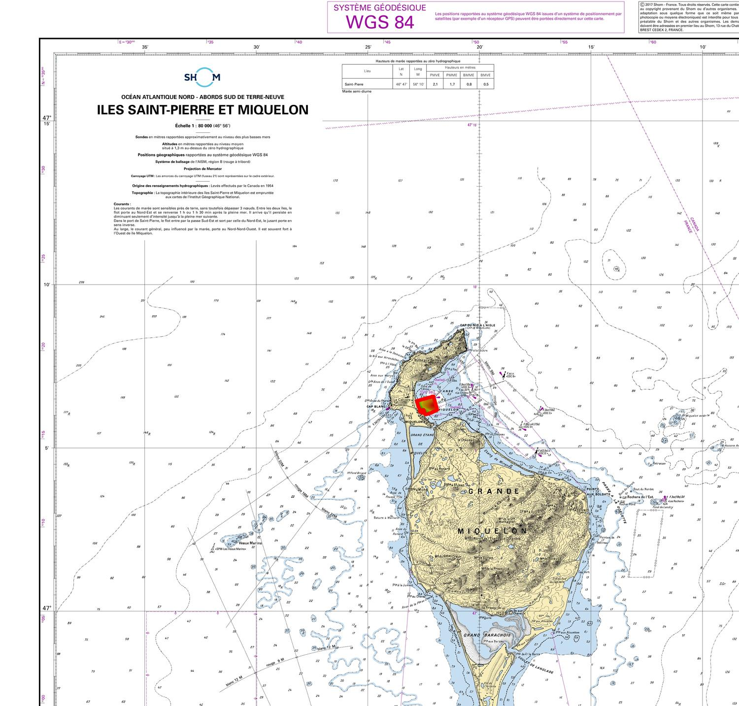
Le produit SCAN Littoral® version 1 est une collection d'images cartographiques numériques continues du littoral en couleur, obtenue par assemblage géoréférencé et dallé des données raster des cartes marines du SHOM et des cartes terrestres au 1:25,000ième de l'IGN. Le produit SCAN Littoral® se compose d'images numériques sans habillage ni légende ni indications de géoréférencement.
-
Le produit SCAN Littoral® version 1 est une collection d'images cartographiques numériques continues du littoral en couleur, obtenue par assemblage géoréférencé et dallé des données raster des cartes marines du SHOM et des cartes terrestres au 1:25,000ième de l'IGN. Le produit SCAN Littoral® se compose d'images numériques sans habillage ni légende ni indications de géoréférencement.