 Catalogue Shom
99999 metre
Type of resources
Available actions
Topics
Provided by
Years
Formats
Representation types
Update frequencies
status
Resolution
-
Lots de qualités homogènes (au sens OHI) constitués de levés réalisés par le SHOM. cherbourg
-
Lots de qualités homogènes (au sens OHI) constitués de levés réalisés par le SHOM. Levé bathymétrique
-
Lots de qualités homogènes (au sens OHI) constitués de levés réalisés par le SHOM. Bathymetrie.
-
Lots de qualités homogènes (au sens OHI) constitués de levés réalisés par le SHOM. Nord digue de Cherbourg
-
Lots de qualités homogènes (au sens OHI) constitués de levés réalisés par le SHOM. OCEAN PACIFIQUE SUD - POLYNESIE FRANCAISE - ARCHIPEL DES TUAMOTU - ATOLL DE FANGATAUFA
-
Lots de qualités homogènes (au sens OHI) constitués de levés réalisés par le SHOM. INDEX DES LEVES: NON RENSEIGNE
-
Lots de qualités homogènes (au sens OHI) constitués de levés réalisés par le SHOM. Levé bathymétrique effectué au sondeur multifaisceau
-
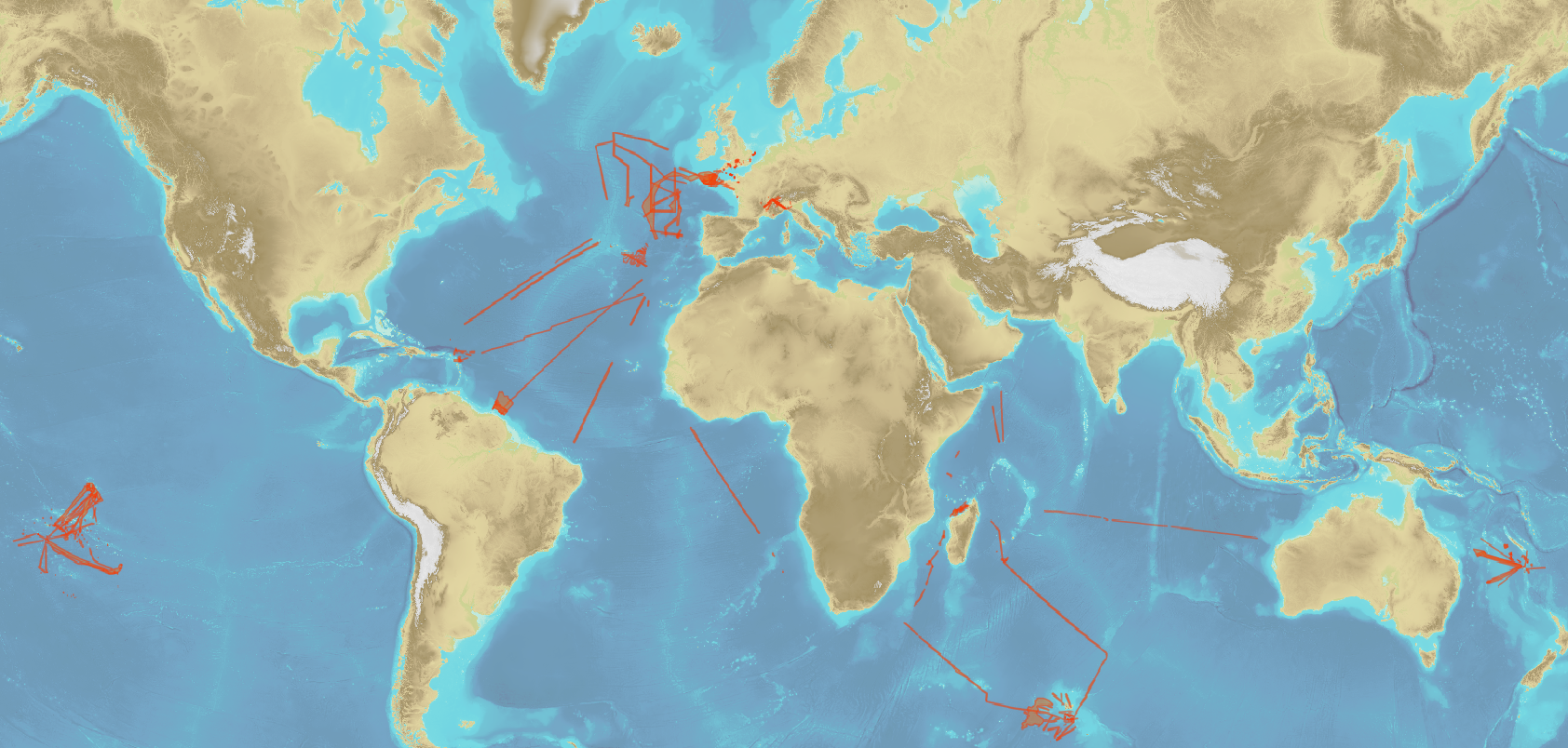
Bathymetric datasets, collected between 1990 and 2005, are digital data controlled and qualified. They are acquired with single-beam echosounders and the first generations of multi-beam echosounders.
-
Lots de qualités homogènes (au sens OHI) constitués de levés réalisés par le SHOM. La Manche - Cote Nord de France - Port de Cherbourg. Leve bathymetrique.
-
For more than 200 years, Shom has maintained a bathymetric knowledge base enriched by surveys and campaigns over time. They are composed of point clouds which have a density higher than those shown on nautical charts. Datasets are stored in the Shom Bathymetric Database (BDBS) which is a source to describe seabed reliefs. These data are useful for many applications as oceanographic modeling or seabed exploitations. The bathymetric datasets have been granted a distribution agreement. Data are not modeled. This modeling is left to the initiative of the customers. In other terms, they are point clouds data on the field, treated to the hydrographic standards in force at the time of their acquisition and validated. The product is composed of bathymetric datasets which cover the entire French Exclusive Economic Zone (EEZ) as well as international waters. The cover and its cutting are available on the Shom portals (data.shom.fr). Data positions are provided in geographic coordinates reported to the World Reference Geodetic System WGS84. They are vertically referenced to the zero of the soundings reduction which is usually associated to the hydrographic Chart Datum of the corresponding area. For depths up to 50m, the data vertical accuracy varies from 30cm to 1m and the planimetric accuracy varies from 1 to 20m. Beyond, in deep seas, the vertical accuracy is mainly of the order of 1 to 2% of the bottom depth. Sometimes, it is higher depending on the technology used.