 Catalogue Shom
500000
Type of resources
Available actions
Topics
Keywords
Provided by
Years
Formats
Representation types
Update frequencies
status
Scale
-
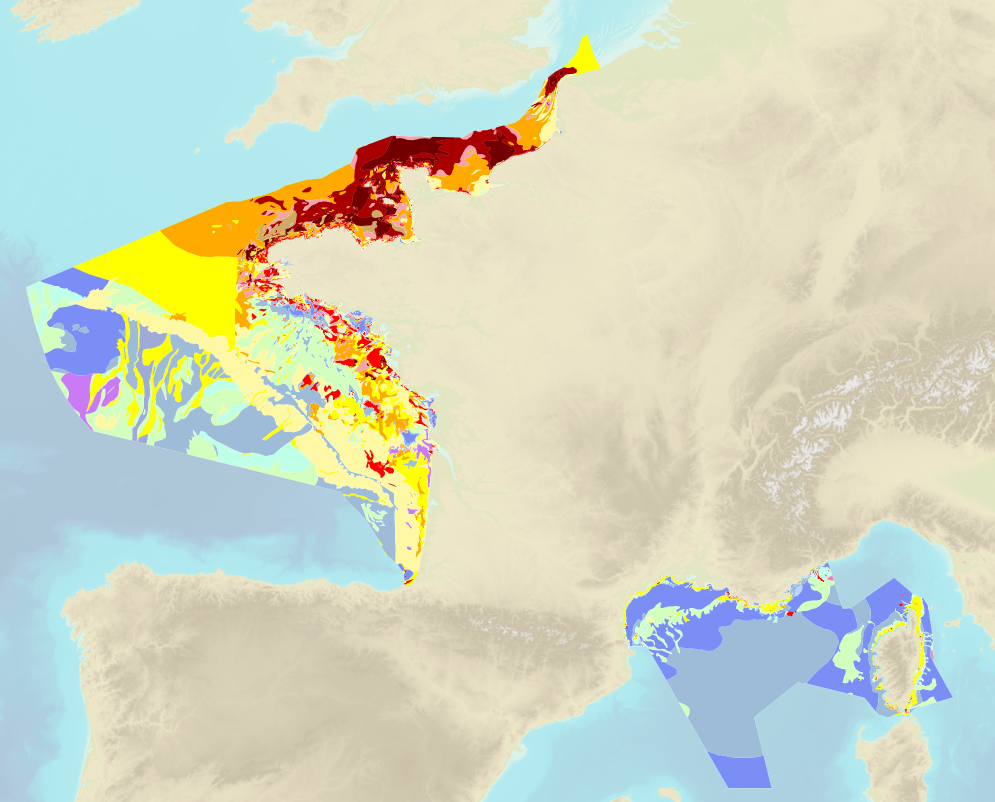
Sea bed sediment maps for the 4 marine sub-regions prepared as part of the initial evaluation of the MSFD (Marine Strategy Framework Directive).
-
The “World Seabed Sediment Map” product contains geo-referenced digital data, describing the nature of the sediment encountered in different seas and oceans of the world. The objects are all surface areas and the description of an object includes in particular the nature of the sediment including rock-type bottoms.
-
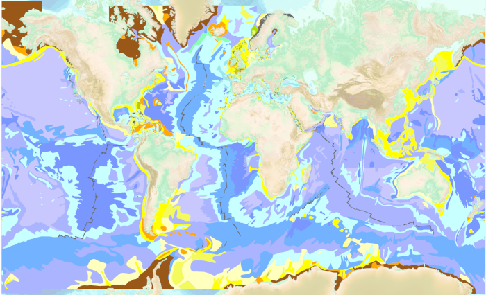
The “World Seabed Sediment Map” product contains geo-referenced digital data, describing the nature of the sediment encountered in different seas and oceans of the world. The objects are all surface areas and the description of an object includes in particular the nature of the sediment including rock-type bottoms.
-
Pulau Tokongkemudi to Pulau-Pulau Natuna Utara; South China Sea; Routiers et planisphères; Édition 3 du 06/06/2018
-
Carte marine imprimée N°7357 Îles Marquises (Fenua Enata)
-
Outer Approaches to Singapore Strait; South China Sea; Cartes d'atterrissage; Édition 6 du 19/03/2026
-
Ra's al Muraysah to el Iskandariya; Méditerranéan Sea - Lybia and Egypt; Cartes d'atterrissage; Édition 3 du 25/10/2017
-
Selat Karimata and Approaches; Indonesia; Routiers et planisphères; Édition 3 du 06/06/2018
-
Image numérique scannée non géoréférencée de la Bathymétrie 2000_04_16 Date de création : 1998-1999 Support de l'original: Film polyester Dimensions : 1095mm x 830mm Description : B 500-1, rapport particulier n° 242 MOA/NP du 06/12/1999.
-
Estrecho de Magallanes; Chile; Cartes d'atterrissage; Édition 2 du 10/08/2016